Places to go in California.

Springs, beaches, parks and gardens worth the drive. Save the ones you want to visit and tick off the ones you’ve been to.

Explore places across the United States →
BeachesLakes & riversMountainsCanyons & desertsForestsCavesVolcanoes

All places

Browse everything by category or region.

16 places

Yosemite National Park Mountains

Yosemite National Park

Mariposa, CA, CA · Sierra Nevada

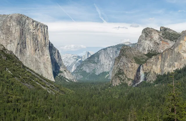
Yosemite is a Sierra Nevada showpiece where glacier-carved granite walls, thundering waterfalls, and ancient giant sequoias crowd into one valley floor. From the visitor hub in Yosemite Valley you can crane your neck at El Capitan and Half Dome, chase spring waterfall spray, or drive up to a viewpoint that frames the whole high country. It is one of the most scenic and worth-the-trip national parks in the country, though summer crowds and seasonal road closures reward visitors who plan ahead.
Coronado Beach Beaches

Coronado Beach

San Diego, CA · San Diego

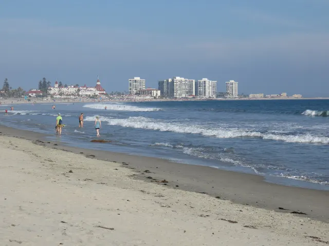
Coronado Central Beach is a mile and a half of wide, golden sand that glitters from flecks of mica, stretching beneath the turrets of the historic Hotel del Coronado just across the bay from San Diego. Regularly ranked among the best beaches in America, it offers gentle surf, year round lifeguards, and room to spread out for swimming, surfing, or a sunset stroll. With fire rings, volleyball courts, and the iconic red roofed hotel as a backdrop, it is an easy and worthwhile day trip for almost any traveler.

Channel Islands National Park Lakes & rivers

Channel Islands National Park

Ventura, CA · Southern California Coast

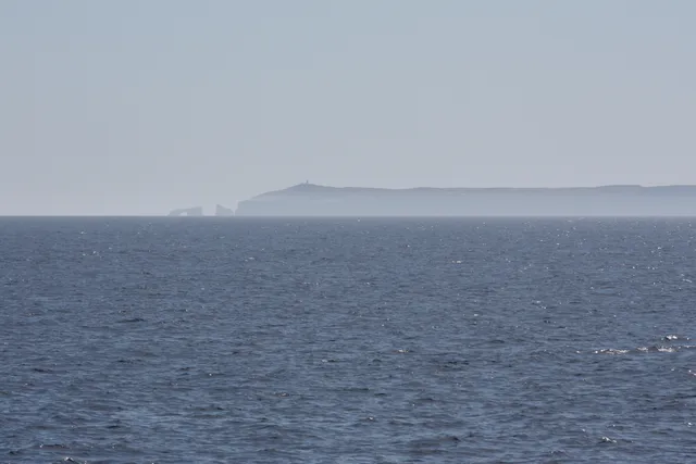
Often called the American Galapagos, Channel Islands National Park spans five rugged, undeveloped islands off the Ventura coast, home to roughly 145 species found nowhere else on Earth, including the diminutive island fox. Boat out to Santa Cruz or Anacapa to kayak sea caves and kelp forests, or hike past Anacapa's iconic 40-foot Arch Rock. Reach it by ferry from Ventura Harbor, where the park's mainland visitor center sits on Spinnaker Drive.

Death Valley National Park Canyons & deserts

Death Valley National Park

Furnace Creek, CA · Mojave Desert

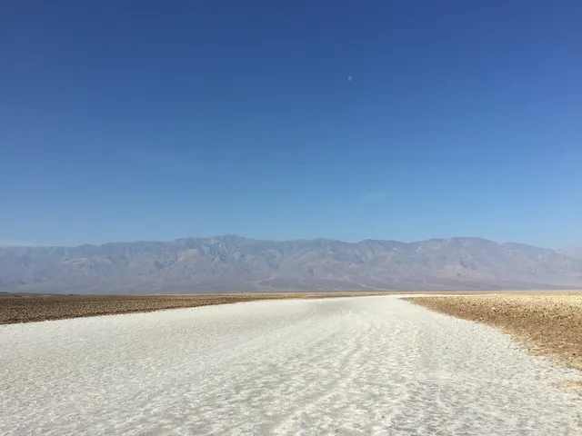
Death Valley National Park is the hottest, driest, and lowest national park in the country, a vast basin of salt flats, sculpted badlands, and dunes near Furnace Creek, California. Walk out onto the cracked white polygons of Badwater Basin at 282 feet below sea level, the lowest point in North America, then catch sunrise over the rippled ridges of Zabriskie Point. Come October through April, when the desert heat eases to comfortable hiking weather.

Joshua Tree National Park Canyons & deserts

Joshua Tree National Park

Joshua Tree, CA · Mojave Desert

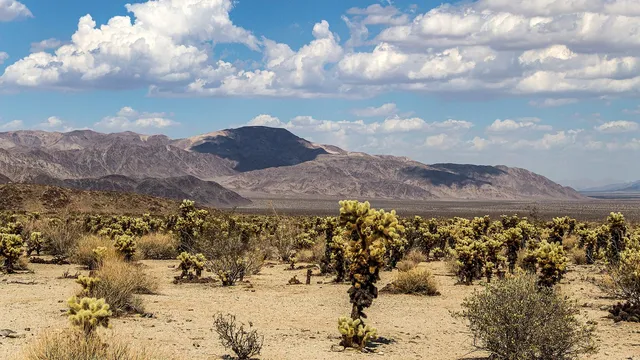
Joshua Tree National Park is where two California deserts collide, the high Mojave bristling with twisted Joshua trees and the lower Colorado giving way to spiny ocotillo and cholla. Scramble the wind-sculpted granite at Hidden Valley, then drive up to Keys View for a 5,000-foot panorama over the Coachella Valley and the San Andreas Fault. Spring wildflowers and famously dark night skies make it a draw year round.

Kings Canyon National Park Canyons & deserts

Kings Canyon National Park

Fresno, CA · Sierra Nevada

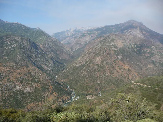
Kings Canyon plunges deeper than the Grand Canyon, with rock walls rising more than 8,000 feet above the roaring South Fork of the Kings River east of Fresno. The park also shelters giant sequoias, including the General Grant, the third-largest tree on Earth and the nation's official Christmas tree. Drive the dramatic Kings Canyon Scenic Byway down to Cedar Grove in summer, then hike the granite high country of the southern Sierra Nevada.

Lassen Volcanic National Park Volcanoes

Lassen Volcanic National Park

Mineral, CA · Southern Cascades, Northern California

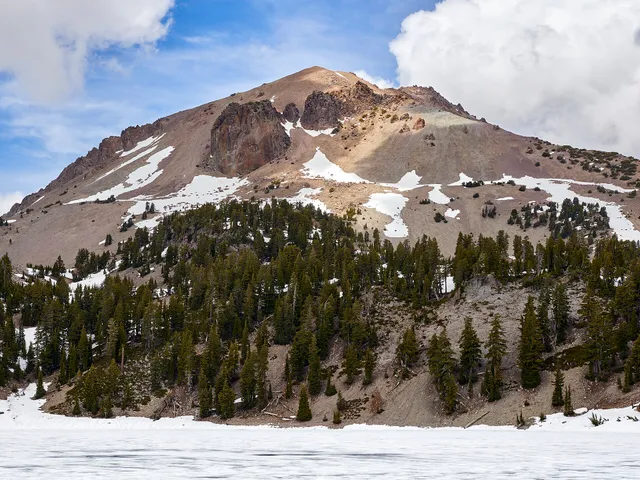
Lassen Volcanic National Park is a working showcase of every volcano type on earth, crowned by Lassen Peak, one of the largest plug-dome volcanoes in the world, which erupted as recently as 1915. Hike the 2.7-mile trail to Bumpass Hell, the park's largest hydrothermal basin, where boardwalks thread between roaring steam vents, boiling mud pots, and milky turquoise pools. Snow lingers into summer, so the high country near Mineral opens late and stays cool.

Pinnacles National Park Canyons & deserts

Pinnacles National Park

Soledad, CA · Gabilan Range, Central California Coast

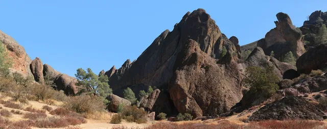
Pinnacles rises from the chaparral hills east of Soledad, California, a maze of spires and crags left by an ancient volcano that the San Andreas Fault dragged nearly 200 miles north. Scramble the High Peaks trail past towering rock and squeeze through the boulder-jammed Bear Gulch and Balconies talus caves. Look up and you may spot a California condor, one of the rare birds reintroduced here, riding the thermals on a wingspan near 10 feet.

Redwood National Park Forests

Redwood National Park

Orick, CA · Northern California Coast

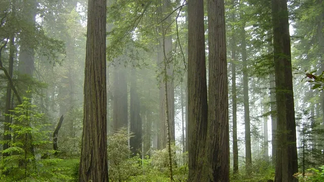
Redwood National Park, stretching inland from the foggy coast near Orick, shelters the tallest trees on Earth, coast redwoods that soar past 300 feet in cathedral-quiet groves. Pick up a free permit at the Kuchel Visitor Center to hike into the legendary Tall Trees Grove, or wander among giants like Big Tree on the Prairie Creek trails. Cool ocean fog keeps the forest lush and green year round.

Sequoia National Park Forests

Sequoia National Park

Three Rivers, CA · Sierra Nevada

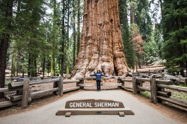
Sequoia National Park in California's southern Sierra Nevada shelters the giant sequoias, the most massive trees on Earth, including General Sherman, which holds the title by sheer volume. Walk the paved Congress Trail through the Giant Forest, then climb the 400 steps up Moro Rock for a sweeping view of the Great Western Divide. Summer parking near Sherman fills by mid-morning, so arrive early or ride the shuttle.

Pfeiffer Beach Beaches

Pfeiffer Beach

Big Sur, CA · Big Sur

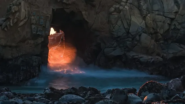
Down a narrow two-mile lane off Highway 1, Pfeiffer Beach hides one of the West Coast's great payoffs: Keyhole Arch, a sea-carved rock that, for a few short weeks around the winter solstice, lines up with the setting sun and sends a blade of orange light straight through the opening. The sand here runs streaked with violet and rose, manganese garnet washed down from the cliffs and brightest just after winter rain. Come for the arch at low tide and golden hour, stay for the wind, the booming surf, and a stretch of coast that earns every bit of the drive.

El Matador State Beach Beaches

El Matador State Beach

Malibu, CA · Malibu

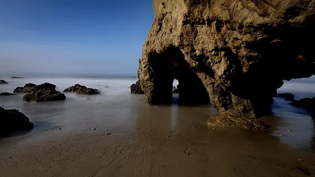
A steep staircase drops off the Pacific Coast Highway to a pocket of sand where wave-carved sea stacks and a natural rock arch rise straight out of the surf. Time it for low tide and you can wander into the sea caves at the base of the bluff; time it for the hour before sunset and the whole cove turns gold, which is why photographers crowd the arch most evenings. It is small, the parking lot fills fast, and there are no lifeguards or facilities, but few stretches of California coast pack this much drama into one short walk down.

Crystal Cave (Sequoia National Park) Caves

Crystal Cave (Sequoia National Park)

Three Rivers, CA · Sierra Nevada

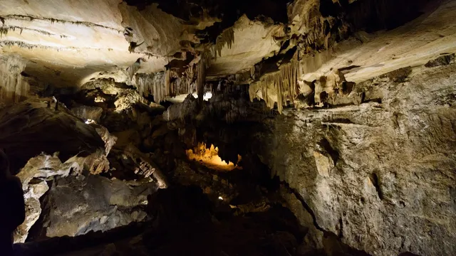
Behind a wrought-iron spider-web gate the Civilian Conservation Corps forged in 1940, Crystal Cave opens into a marble cavern an underground stream carved and is still polishing smooth. The lantern-and-walking tour, the only way in, winds a half-mile loop past stalactites, draperies, soda straws, and rimstone dams, with whole walls of marble worn to a sheen by the water. It is the single cave open to the public out of more than 240 mapped in the park, holding a steady 48 degrees while the Sierra bakes overhead.

Lava Beds National Monument Caves

Lava Beds National Monument

Tulelake, CA · Modoc Plateau

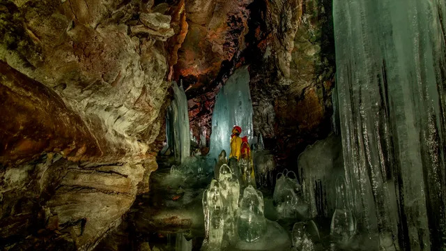
Tucked into a high desert plateau near the Oregon line, Lava Beds hides more than 800 lava tube caves under its sagebrush, the densest concentration in North America, and 27 of them have marked entrances you can drop into with a headlamp. Underground, the tubes run for hundreds of feet at a stretch: the long tunnels of Catacombs and Sentinel, the ceiling of Golden Dome lit gold where water beads on a film of cave bacteria, and the year round ice of Crystal Ice and Skull caves, frozen columns and pools sitting in the dark of a basalt desert. Above ground are Petroglyph Point, one of the largest rock art panels in the country, and Captain Jack's Stronghold, where Modoc fighters held off the US Army for five months in the lava maze.

Yosemite Falls Lakes & rivers

Yosemite Falls

Yosemite Village, CA · Yosemite Valley, Sierra Nevada, California

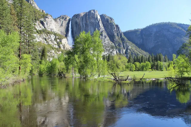
Yosemite Falls is the tallest waterfall in North America, dropping 2,425 feet in three connected stages down the north wall of Yosemite Valley. The Upper Fall plunges 1,430 feet on its own, feeds a churning run of middle cascades, then the Lower Fall finishes with a 320-foot drop you can walk right up to. It runs on snowmelt, so timing is everything. Peak flow lands in May, the roar carries across the valley in spring, and by August it can slow to a trickle or dry up entirely before returning with winter storms. For the easy view, the paved Lower Yosemite Fall loop is about 1 mile, with a wheelchair-accessible section to the base. For the whole thing, the Upper Yosemite Fall Trail climbs 2,700 feet over 7.2 miles round trip, a steep all-day push. A park entrance fee applies, and a reservation may be required in peak season.

McArthur-Burney Falls Lakes & rivers

McArthur-Burney Falls

Burney, CA · Shasta County, Northern California

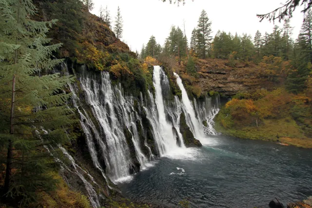
McArthur-Burney Falls does not rely on a single plunge. Burney Creek pours 129 feet over a volcanic cliff, and the rock face itself leaks, with dozens of springs seeping straight through the porous basalt to add a lacework of secondary streams beside the main curtain. Because underground springs feed it, the flow stays near 100 million gallons a day year-round, and the water holds around 42 degrees even in August. Theodore Roosevelt reportedly called it the "Eighth Wonder of the World," and it became a National Natural Landmark in 1954. The Falls Loop Trail runs about one mile from the overlook down to the pool and back, an easy walk with a short climb out. Know before you go: day use is 10 dollars per vehicle, and from mid-May through late September a parking reservation is required Friday through Sunday and on holidays, so book ahead for summer weekends.