Beaches

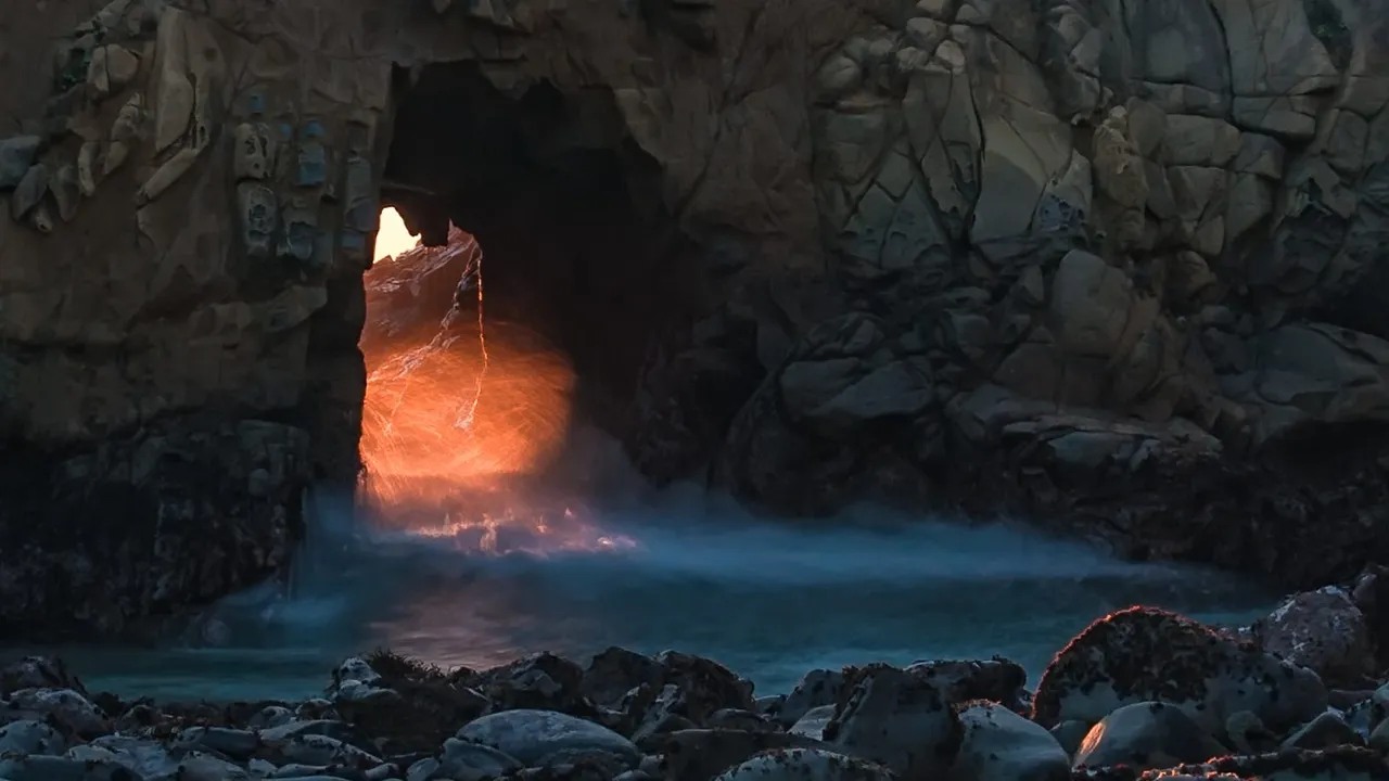
Pfeiffer Beach

Big Sur, CA · Big Sur$$15 day-use fee or $50 annual pass; Interagency passes not accepted

About

On a few days in December and January the setting sun shines through Keyhole Rock at Pfeiffer Beach in Big Sur, and photographers turn out for it. The beach is at the end of Sycamore Canyon Road, a single-lane, 2.2-mile road off Highway 1 that's easy to miss; it turns off between the Big Sur Ranger Station and the post office, about a mile south of the Pfeiffer Big Sur State Park entrance. Winter rain can close that road on and off in the same months. Summer and holiday weekends usually fill the 65-car lot, and nobody is allowed on the road outside a vehicle, so you can't park on the highway and walk in. There are no restrooms and no drinking water, and cold water and riptides make swimming risky.

Highlights

Keyhole RockPurple sandOne-lane Sycamore Canyon Road, 2.2 miles65-car lot, full summer weekendsNo restrooms or drinking water

Related places

El Matador State Beach Beaches

El Matador State Beach

Malibu, CA · Malibu$

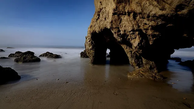
A dirt path and several sets of steps drop down the bluff from Pacific Coast Highway in Malibu to El Matador, a narrow beach with sea caves. The bluff-top lot is small and open…

Coronado Beach Beaches

Coronado Beach

San Diego, CA · San Diego

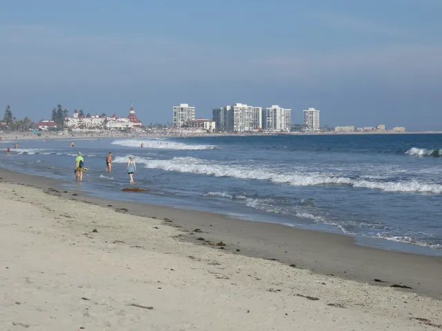
Coronado's Central Beach, with the Hotel del Coronado behind it, is flat enough for skimboarding and runs about a mile and a half. Sewage from the Tijuana River can close the…

Crystal Cave (Sequoia National Park) Caves

Crystal Cave (Sequoia National Park)

Three Rivers, CA · Sierra Nevada

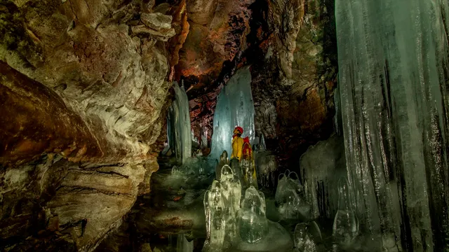
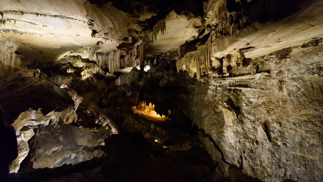
Behind a wrought-iron spider-web gate the Civilian Conservation Corps forged in 1940, Crystal Cave opens into a marble cavern an underground stream carved and is still polishing…

More in California

Others worth the drive in California.

All of California →
Lava Beds National Monument Caves

Lava Beds National Monument

Tulelake, CA · Modoc Plateau$

Tucked into a high desert plateau near the Oregon line, Lava Beds hides more than 800 lava tube caves under its sagebrush, the densest concentration in North America, and 27 of…

Yosemite Falls Lakes & rivers

Yosemite Falls

Yosemite Village, CA · Yosemite Valley, Sierra Nevada, California$

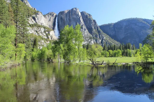
Yosemite Falls is the tallest waterfall in North America, dropping 2,425 feet in three connected stages down the north wall of Yosemite Valley. The Upper Fall plunges 1,430 feet…

McArthur-Burney Falls Lakes & rivers

McArthur-Burney Falls

Burney, CA · Shasta County, Northern California$

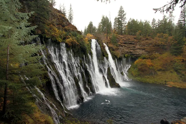
McArthur-Burney Falls does not rely on a single plunge. Burney Creek pours 129 feet over a volcanic cliff, and the rock face itself leaks, with dozens of springs seeping straight…

Yosemite National Park Mountains

Yosemite National Park

Mariposa, CA · Sierra Nevada$

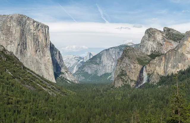
Tunnel View, at the east end of the Wawona Tunnel, looks into Yosemite Valley with El Capitan and Bridalveil Fall in front and Half Dome behind. Valley parking is usually full…

Channel Islands National Park Lakes & rivers

Channel Islands National Park

Ventura, CA · Southern California Coast

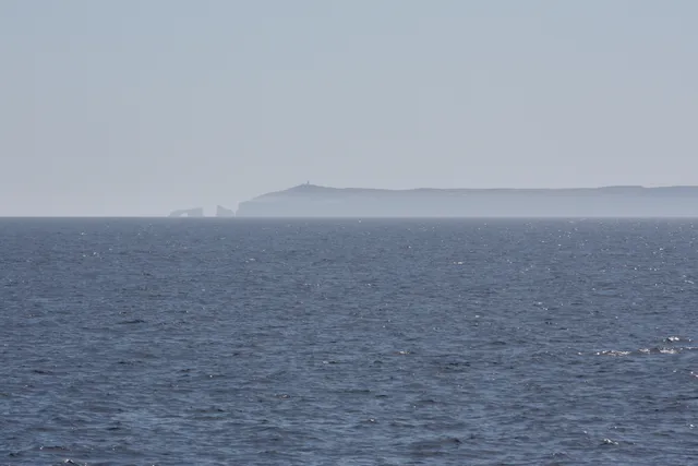
Boats from the California mainland reach Scorpion Anchorage on Santa Cruz Island in about an hour, and a day trip gives you 6 to 8 hours ashore. There are no stores or…

Death Valley National Park Canyons & deserts

Death Valley National Park

Furnace Creek, CA · Mojave Desert$

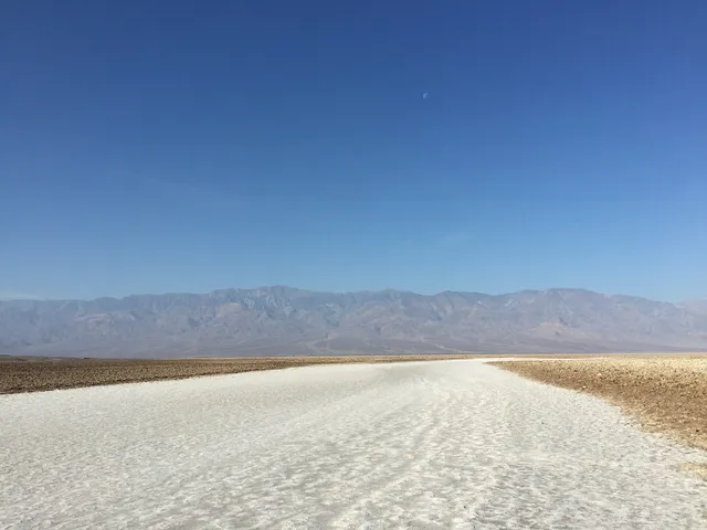
The salt crystals at Devils Golf Course, on Badwater Road in Death Valley, make tiny popping sounds as they expand and contract in the heat. Badwater Basin is 17 miles south of…

Part of these collections