Lakes & rivers

McArthur-Burney Falls

Burney, CA · Shasta County, Northern California$$10 per vehicle for day use

About

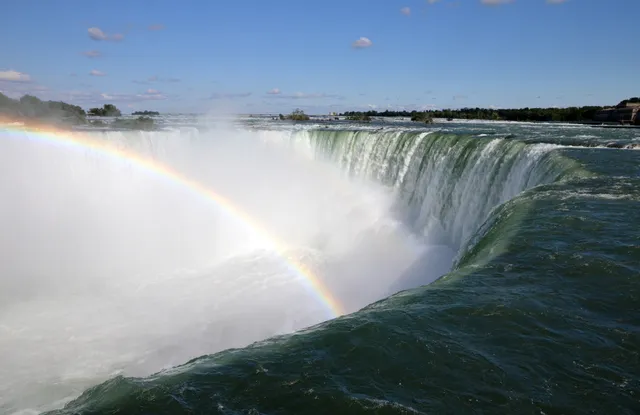
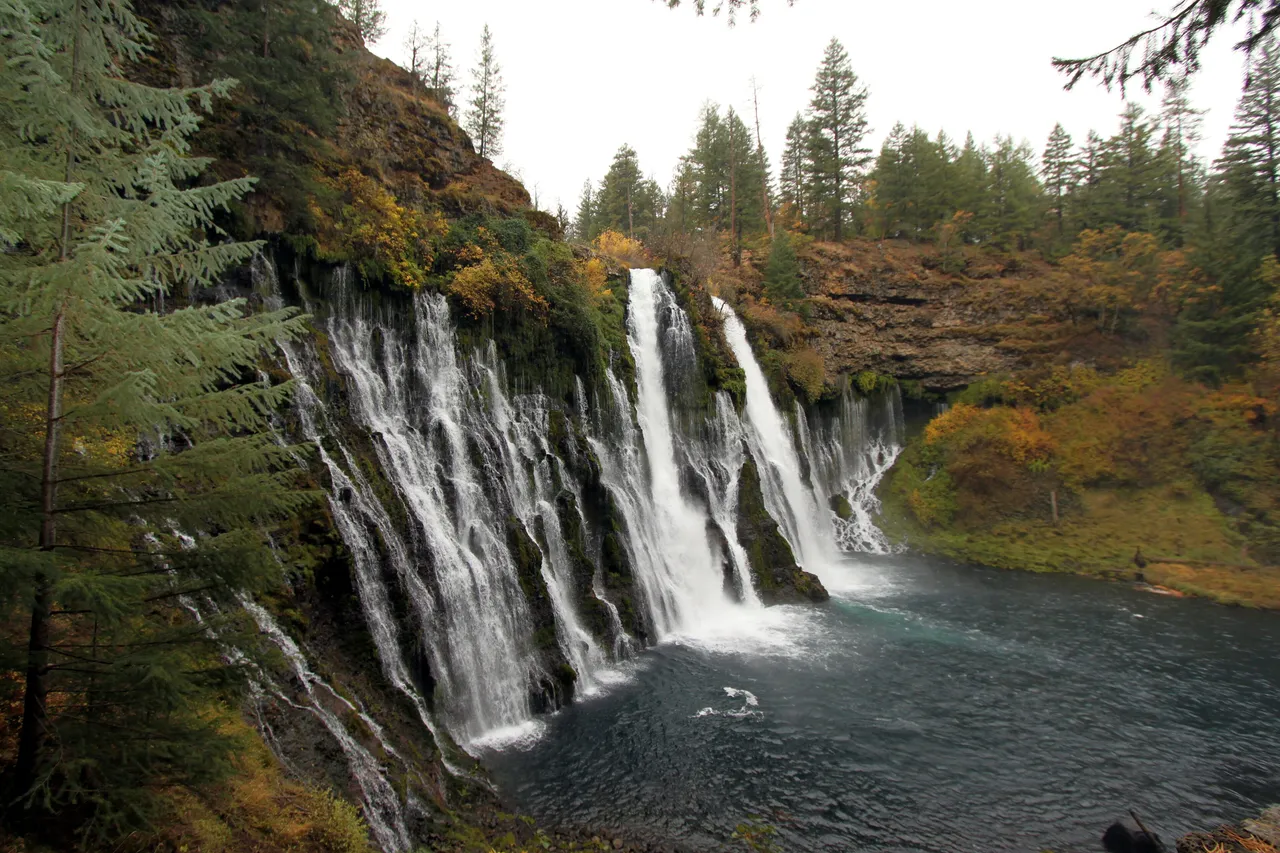
McArthur-Burney Falls does not rely on a single plunge. Burney Creek pours 129 feet over a volcanic cliff, and the rock face itself leaks, with dozens of springs seeping straight through the porous basalt to add a lacework of secondary streams beside the main curtain. Because underground springs feed it, the flow stays near 100 million gallons a day year-round, and the water holds around 42 degrees even in August. Theodore Roosevelt reportedly called it the "Eighth Wonder of the World," and it became a National Natural Landmark in 1954. The Falls Loop Trail runs about one mile from the overlook down to the pool and back, an easy walk with a short climb out. Day use is 10 dollars per vehicle, and from mid-May through late September a parking reservation is required Friday through Sunday and on holidays, so book ahead for summer weekends.

Highlights

129 ft spring-fed fan over basalt cliff~100 million gallons/day, year-round flowWater holds near 42 degrees F all yearNational Natural Landmark (1954)Falls Loop Trail ~1 mile, easy$10/vehicle; summer weekend reservation required

Getting there

24898 Highway 89, Burney, CA 96013

Related places

Channel Islands National Park Lakes & rivers

Channel Islands National Park

Ventura, CA · Southern California Coast

Boats from the California mainland reach Scorpion Anchorage on Santa Cruz Island in about an hour, and a day trip gives you 6 to 8 hours ashore. There are no stores or…

Yosemite Falls Lakes & rivers

Yosemite Falls

Yosemite Village, CA · Yosemite Valley, Sierra Nevada, California$

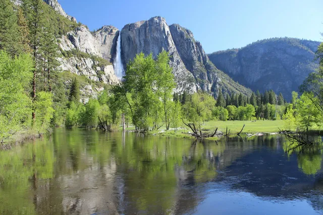
Yosemite Falls is the tallest waterfall in North America, dropping 2,425 feet in three connected stages down the north wall of Yosemite Valley. The Upper Fall plunges 1,430 feet…

Yosemite National Park Mountains

Yosemite National Park

Mariposa, CA · Sierra Nevada$

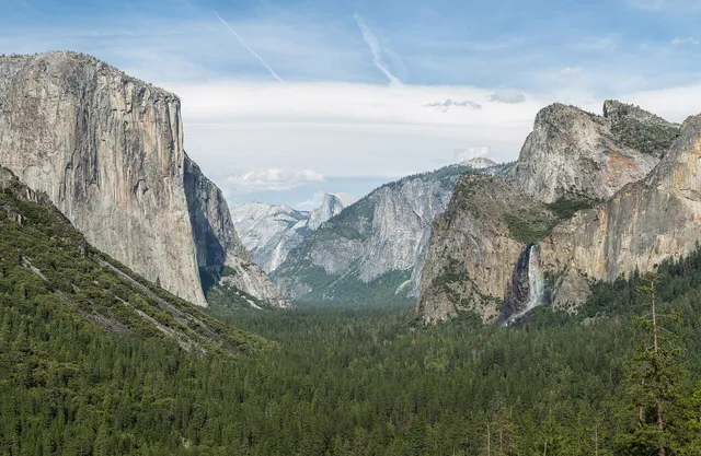
Tunnel View, at the east end of the Wawona Tunnel, looks into Yosemite Valley with El Capitan and Bridalveil Fall in front and Half Dome behind. Valley parking is usually full…

More in California

Others worth the drive in California.
All of California →
Coronado Beach Beaches

Coronado Beach

San Diego, CA · San Diego

Coronado's Central Beach, with the Hotel del Coronado behind it, is flat enough for skimboarding and runs about a mile and a half. Sewage from the Tijuana River can close the…

Death Valley National Park Canyons & deserts

Death Valley National Park

Furnace Creek, CA · Mojave Desert$

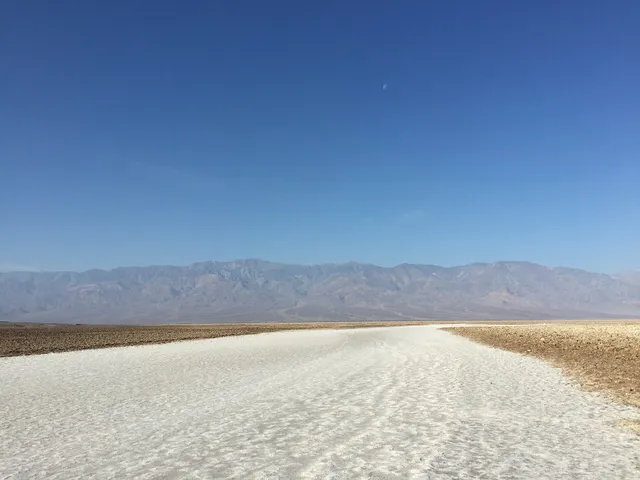
The salt crystals at Devils Golf Course, on Badwater Road in Death Valley, make tiny popping sounds as they expand and contract in the heat. Badwater Basin is 17 miles south of…

Joshua Tree National Park Canyons & deserts

Joshua Tree National Park

Joshua Tree, CA · Mojave Desert$

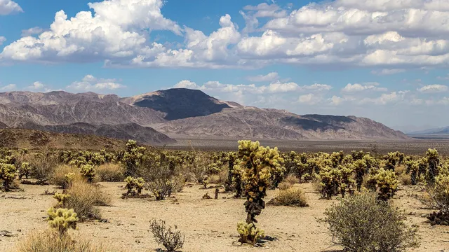
Joshua trees grow only on the park's high Mojave side. Down in the lower Colorado Desert, ocotillo and cholla take over. At Hidden Valley you can scramble over the granite…

Kings Canyon National Park Canyons & deserts

Kings Canyon National Park

Fresno, CA · Sierra Nevada$

Drive the Kings Canyon Scenic Byway down to Cedar Grove in summer and the walls beside you climb more than 8,000 feet above the South Fork of the Kings River, deeper than the…

Lassen Volcanic National Park Volcanoes

Lassen Volcanic National Park

Mineral, CA · Southern Cascades, Northern California$

Lassen Peak, about 130 miles north of Sacramento, threw an ash column more than 30,000 feet high on May 22, 1915. The 30-mile park road runs past the Devastated Area that…

Pinnacles National Park Canyons & deserts

Pinnacles National Park

Soledad, CA · Gabilan Range, Central California Coast$

The west side of Pinnacles gives the best views of its rock formations with little effort, and that entrance is 14 miles along Highway 146 from Soledad. Its gate is open 7:30…

Part of these collections