Ventura, CA · Southern California CoastNo entrance fee
About
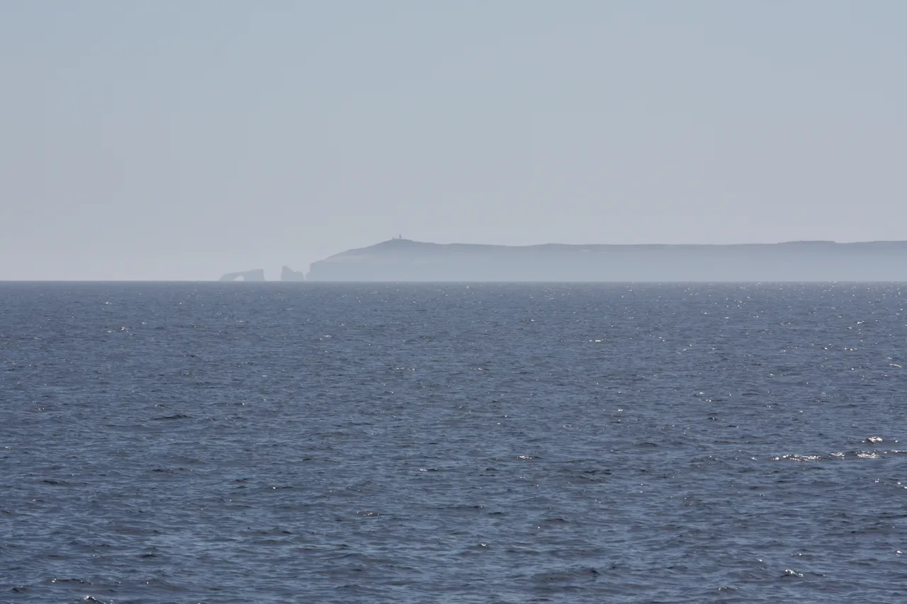
Boats from the California mainland reach Scorpion Anchorage on Santa Cruz Island in about an hour, and a day trip gives you 6 to 8 hours ashore. There are no stores or restaurants on the islands, and there's drinking water only at Scorpion and near Bechers Bay on Santa Rosa. The park calls sea kayaking high risk, with deaths and near-fatal incidents every year, and strongly recommends a guide. Guided kayak and snorkel trips leave from Scorpion, and the water is calmest from August to October. Anacapa is the other one-hour crossing, but the captain decides on arrival if the boat can land, and the climb from the landing is more than 150 steps.
Highlights
Five islands, reached by boat or planeGuided kayaking from Scorpion AnchorageAnacapa's 40-foot Arch RockIsland fox, found nowhere elseBoats from Ventura and Channel Islands Harbor
Yosemite Village, CA · Yosemite Valley, Sierra Nevada, California$
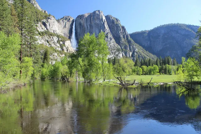
Yosemite Falls is the tallest waterfall in North America, dropping 2,425 feet in three connected stages down the north wall of Yosemite Valley. The Upper Fall plunges 1,430 feet…
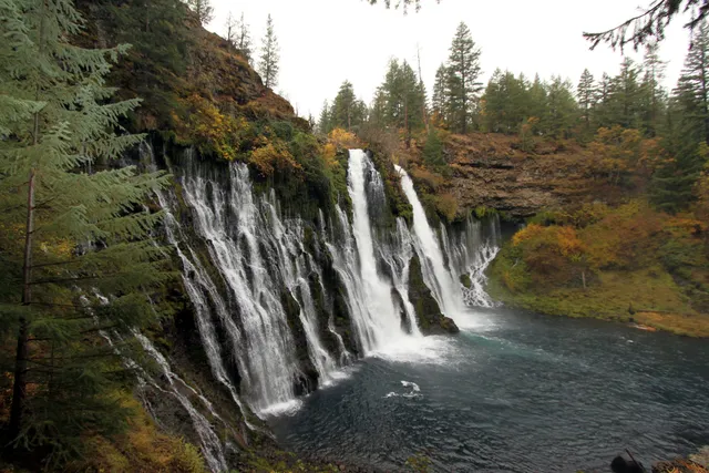
McArthur-Burney Falls does not rely on a single plunge. Burney Creek pours 129 feet over a volcanic cliff, and the rock face itself leaks, with dozens of springs seeping straight…
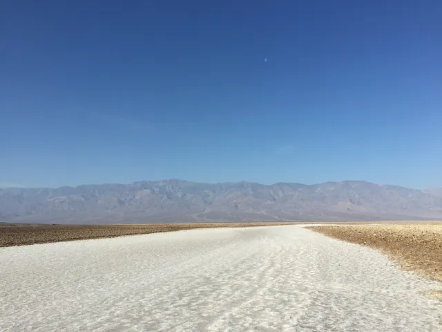
The salt crystals at Devils Golf Course, on Badwater Road in Death Valley, make tiny popping sounds as they expand and contract in the heat. Badwater Basin is 17 miles south of…
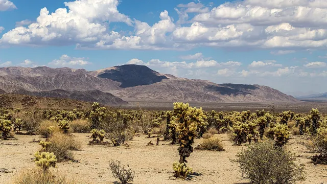
Joshua trees grow only on the park's high Mojave side. Down in the lower Colorado Desert, ocotillo and cholla take over. At Hidden Valley you can scramble over the granite…
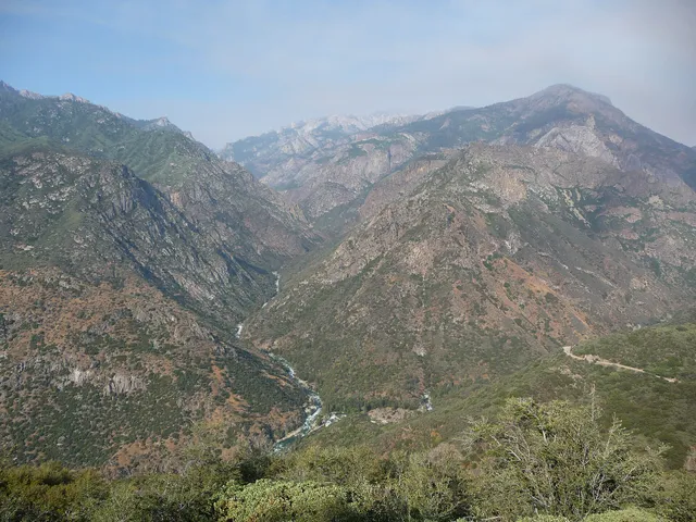
Drive the Kings Canyon Scenic Byway down to Cedar Grove in summer and the walls beside you climb more than 8,000 feet above the South Fork of the Kings River, deeper than the…
Mineral, CA · Southern Cascades, Northern California$
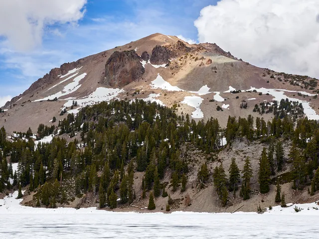
Lassen Peak, about 130 miles north of Sacramento, threw an ash column more than 30,000 feet high on May 22, 1915. The 30-mile park road runs past the Devastated Area that…
Soledad, CA · Gabilan Range, Central California Coast$
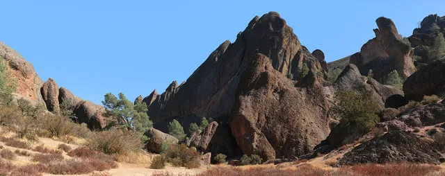
The west side of Pinnacles gives the best views of its rock formations with little effort, and that entrance is 14 miles along Highway 146 from Soledad. Its gate is open 7:30…
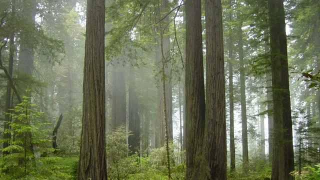
Redwood National and State Parks run about 50 miles up US 101 from Orick to Crescent City and hold about 35% of the world's remaining old-growth redwood forest. At Fern Canyon…
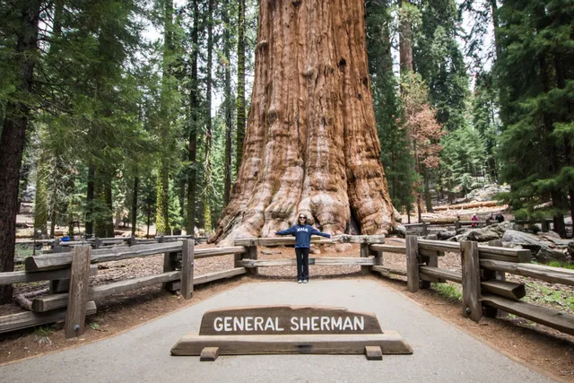
Summer parking near General Sherman fills by mid-morning, so arrive early or ride the shuttle. Sherman is the largest tree on Earth by volume. The paved Congress Trail runs…