Canyons & deserts

Death Valley National Park

Furnace Creek, CA · Mojave Desert$$30 per vehicle, good for 7 days; cards only

About

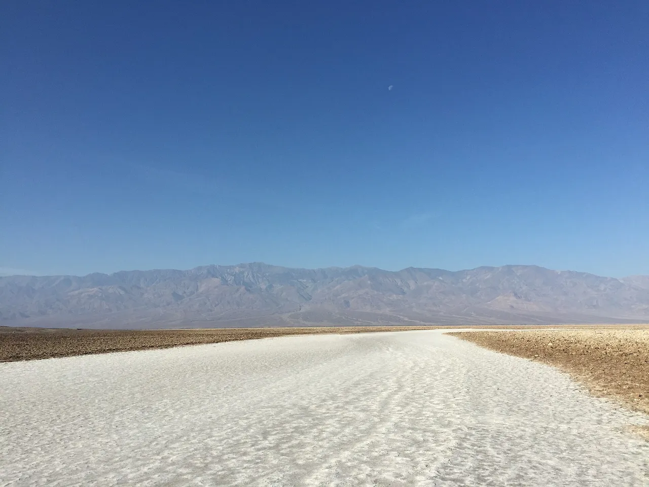
The salt crystals at Devils Golf Course, on Badwater Road in Death Valley, make tiny popping sounds as they expand and contract in the heat. Badwater Basin is 17 miles south of Furnace Creek on the same road, and a quarter-mile walk from its lot puts you out on the salt polygons. Average highs run 65 to 82°F from November through March and 110 to 116 in summer, when the Park Service advises spending no more than 15 minutes outside an air-conditioned car at Badwater. After dark the Milky Way shows clearly.

Highlights

Badwater Basin, 282 feet below sea level, North America's lowest pointZabriskie Point's golden badlands at sunriseMesquite Flat Sand DunesArtists Palette drive through mineral-stained hillsFurnace Creek, site of Earth's hottest recorded air temperature

Getting there

Furnace Creek Visitor Center, CA-190, Death Valley, CA 92328

Related places

Joshua Tree National Park Canyons & deserts

Joshua Tree National Park

Joshua Tree, CA · Mojave Desert$

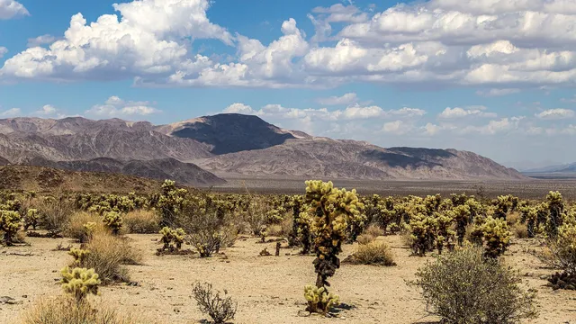
Joshua trees grow only on the park's high Mojave side. Down in the lower Colorado Desert, ocotillo and cholla take over. At Hidden Valley you can scramble over the granite…

Kings Canyon National Park Canyons & deserts

Kings Canyon National Park

Fresno, CA · Sierra Nevada$

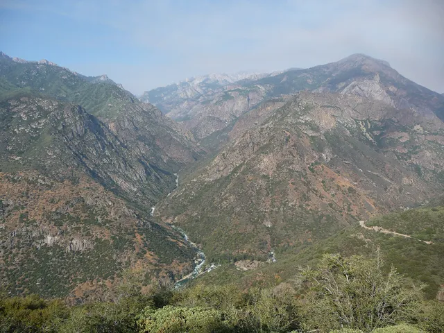
Drive the Kings Canyon Scenic Byway down to Cedar Grove in summer and the walls beside you climb more than 8,000 feet above the South Fork of the Kings River, deeper than the…

Pinnacles National Park Canyons & deserts

Pinnacles National Park

Soledad, CA · Gabilan Range, Central California Coast$

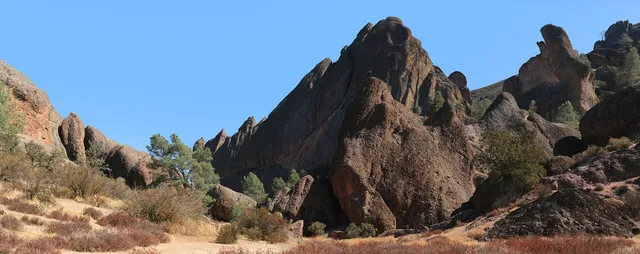
The west side of Pinnacles gives the best views of its rock formations with little effort, and that entrance is 14 miles along Highway 146 from Soledad. Its gate is open 7:30…

More in California

Others worth the drive in California.
All of California →
Lassen Volcanic National Park Volcanoes

Lassen Volcanic National Park

Mineral, CA · Southern Cascades, Northern California$

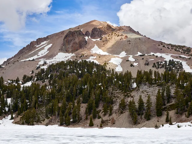
Lassen Peak, about 130 miles north of Sacramento, threw an ash column more than 30,000 feet high on May 22, 1915. The 30-mile park road runs past the Devastated Area that…

Redwood National Park Forests

Redwood National Park

Orick, CA · Northern California CoastFree

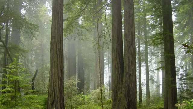
Redwood National and State Parks run about 50 miles up US 101 from Orick to Crescent City and hold about 35% of the world's remaining old-growth redwood forest. At Fern Canyon…

Sequoia National Park Forests

Sequoia National Park

Three Rivers, CA · Sierra Nevada$

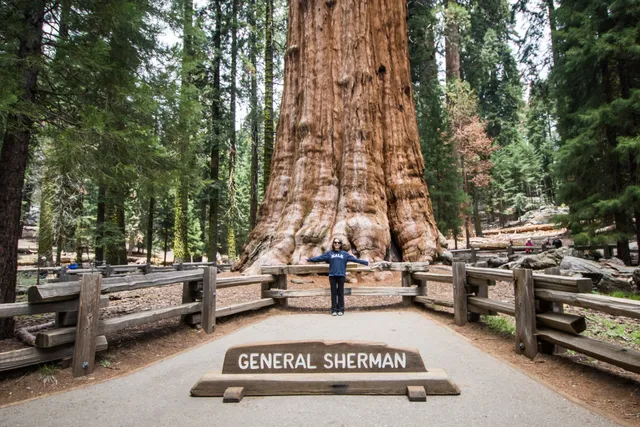
Summer parking near General Sherman fills by mid-morning, so arrive early or ride the shuttle. Sherman is the largest tree on Earth by volume. The paved Congress Trail runs…

Pfeiffer Beach Beaches

Pfeiffer Beach

Big Sur, CA · Big Sur$

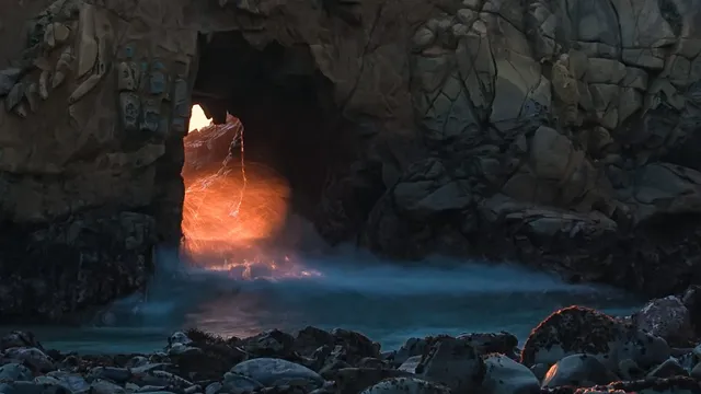
On a few days in December and January the setting sun shines through Keyhole Rock at Pfeiffer Beach in Big Sur, and photographers turn out for it. The beach is at the end of…

El Matador State Beach Beaches

El Matador State Beach

Malibu, CA · Malibu$

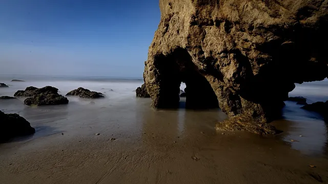
A dirt path and several sets of steps drop down the bluff from Pacific Coast Highway in Malibu to El Matador, a narrow beach with sea caves. The bluff-top lot is small and open…

Crystal Cave (Sequoia National Park) Caves

Crystal Cave (Sequoia National Park)

Three Rivers, CA · Sierra Nevada

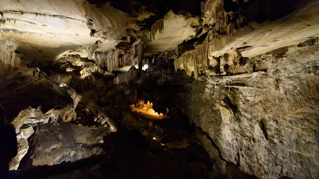
Behind a wrought-iron spider-web gate the Civilian Conservation Corps forged in 1940, Crystal Cave opens into a marble cavern an underground stream carved and is still polishing…

Part of these collections