From Niagara's border-spanning roar to a turquoise plunge deep in the Grand Canyon, these are the waterfalls worth building a trip around. Fifteen of the country's best, roadside giants and earn-it hikes alike, from the Columbia Gorge and the Sierra to the Finger Lakes and the Cumberland Plateau.
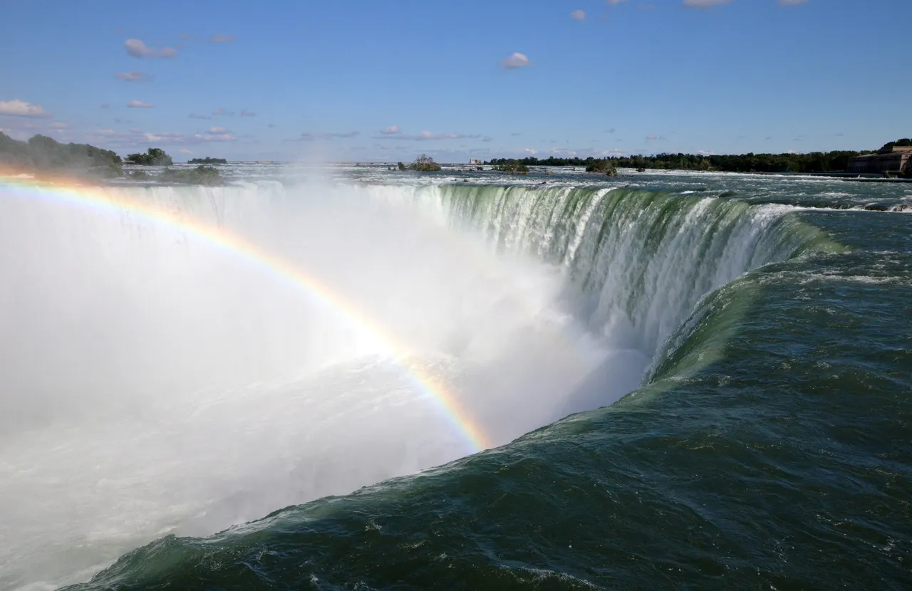
Not the tallest, but no waterfall on the continent moves more water. Three falls, free park access, spray you can feel from the railing, and it runs straight through winter.
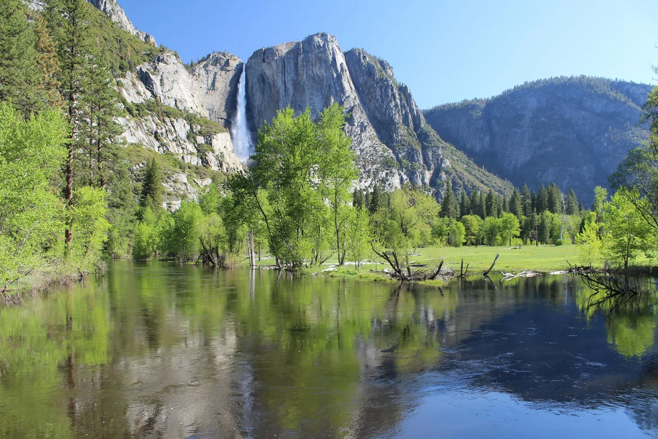
A 2,425-foot, three-tier plunge down Yosemite Valley's north wall. Snowmelt drives it, so come in May when the roar carries valley-wide, then walk the paved mile to its base.
Plan your visit
Yosemite Village, CA Yosemite Valley, Sierra Nevada, California
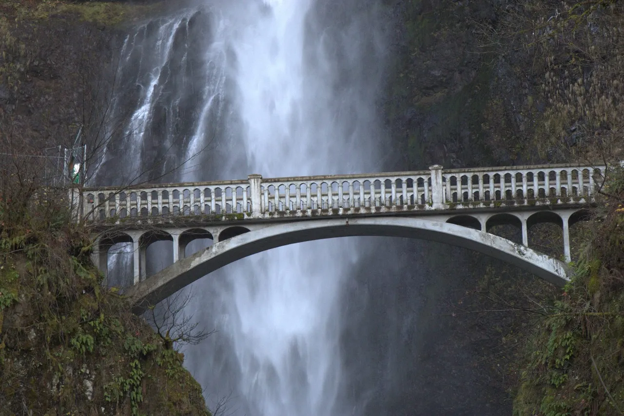
A 620-foot, two-tier plunge off I-84, crossed by a 1914 stone footbridge. It runs cold and full year round, and a $2 summer permit is all that stands between you and the mist.
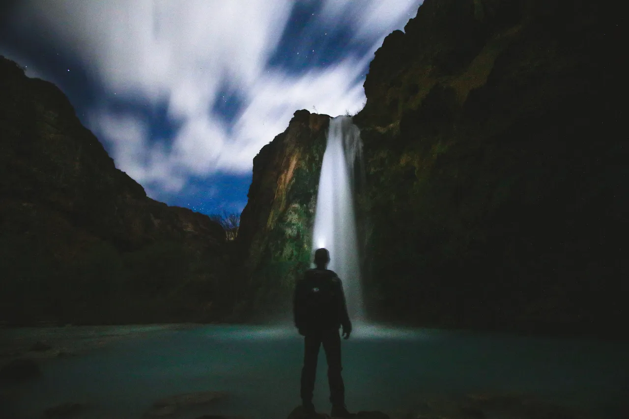
The blue-green icon of the Havasupai reservation, where mineral-rich Havasu Creek pours 100 feet into travertine pools. Ten miles on foot and a hard-won permit are the only ways in.
Plan your visit
Supai, AZ Havasupai Reservation, Grand Canyon, Arizona
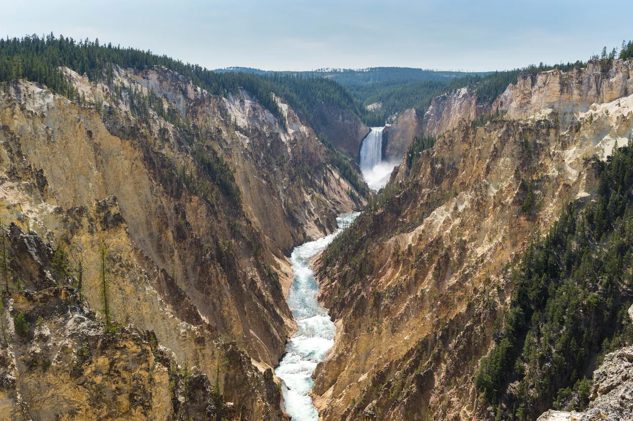
The Yellowstone River's 308 foot plunge is the largest-volume waterfall in the Rocky Mountains, framed at Artist Point by the yellow and pink walls of the Grand Canyon of the Yellowstone.
Plan your visit
Canyon Village, WY Grand Canyon of the Yellowstone, Wyoming
Twin Falls, ID · Snake River Canyon, southern Idaho
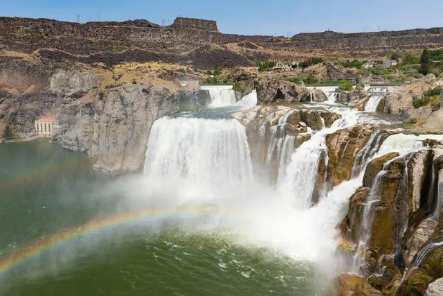
Shoshone Falls earns its nickname honestly. At 212 feet, the Snake River drops 45 feet farther than Niagara, spilling across a roughly 900 foot wide horseshoe cut through black basalt. The catch is that the river is spoken for. Flow is set 20 miles upstream at Milner Dam, where irrigation diversions can shrink the Snake to a trickle by late summer, so timing matters more here than at most falls. Come in spring, ideally April into May, when snowmelt pushes 10,000 CFS or more over the rim and mist rises through the canyon. By August it can slow to a bare scenic flow. The main overlook sits a short walk from the parking lot (no hiking required) and faces the falls head on. The City of Twin Falls runs the park, sunrise to sunset, and charges about $5 per car from late March through September. Bring a layer for the spray.
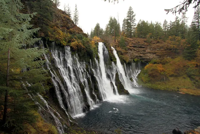
McArthur-Burney Falls does not rely on a single plunge. Burney Creek pours 129 feet over a volcanic cliff, and the rock face itself leaks, with dozens of springs seeping straight through the porous basalt to add a lacework of secondary streams beside the main curtain. Because underground springs feed it, the flow stays near 100 million gallons a day year-round, and the water holds around 42 degrees even in August. Theodore Roosevelt reportedly called it the "Eighth Wonder of the World," and it became a National Natural Landmark in 1954. The Falls Loop Trail runs about one mile from the overlook down to the pool and back, an easy walk with a short climb out. Know before you go: day use is 10 dollars per vehicle, and from mid-May through late September a parking reservation is required Friday through Sunday and on holidays, so book ahead for summer weekends.
LaCrosse, WA · Palouse River Canyon, southeast Washington
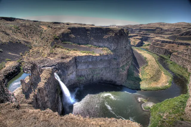
Palouse Falls is Washington's official state waterfall, named in 2014 after a group of local schoolkids lobbied the legislature for it. The Palouse River drops about 200 feet in a single plunge into a punchbowl basin, then threads a 377-foot basalt canyon that the Ice Age floods tore open more than 13,000 years ago. When glacial Lake Missoula burst its ice dam again and again, the water rerouted the river and left this amphitheater of columnar rock behind. It flows year-round, but spring snowmelt (roughly March into May) is when it turns loud and full. Three viewpoints look onto the falls, including the higher Fryxell Overlook reached by a short paved path off the day-use area. Know before you go: the trails down into the canyon are permanently closed, parking is small and fills up on weekends and holidays, and a Discover Pass is required to park.
Haines Falls, NY · Catskill Mountains, Greene County, New York
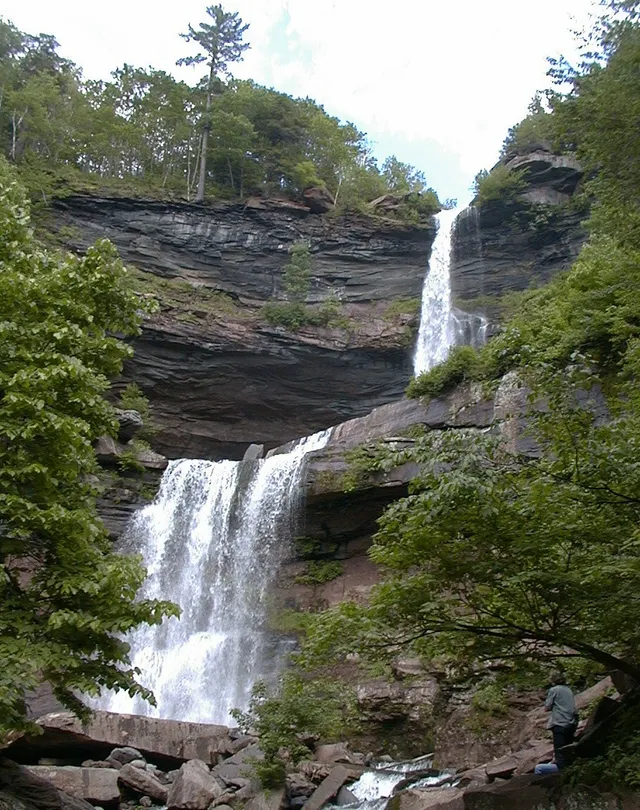
Kaaterskill Falls drops in two tiers down a rock amphitheater in the eastern Catskills, about 260 feet in all, an upper plunge of roughly 180 feet into a shallow pool, then a second fall near 80 feet. It ranks among New York's tallest waterfalls, and it carries a painter's pedigree: Thomas Cole sketched here in 1825, helping launch the Hudson River School, and Asher Durand used the falls as the setting for his 1849 Kindred Spirits. Spruce Creek feeds it, so the flow runs hardest in spring snowmelt and after heavy rain, then thins to a ribbon by late summer. Autumn brings color to the clove and lighter crowds. To reach it, park at Laurel House Road or Scutt Road, both fill early, and take the short gravel path to the accessible overlook platform finished in 2016, or hike up from Route 23A to the base. Roadside parking on 23A gets ticketed and towed, so use the lots.
Corbin, KY · Cumberland Plateau, southeastern Kentucky
Cumberland Falls earns its "Niagara of the South" billing the honest way. The Cumberland River spills 125 feet wide and 68 feet high over a hard sandstone shelf, a broad curtain of amber water in a steep gorge of southeastern Kentucky. What sets this fall apart is the light. On clear nights around a full moon, mist off the plunge pool throws a moonbow, a lunar rainbow, and this is the only place in the Western Hemisphere where one appears with regularity. The park publishes the dates each month. By day, an overlook sits steps from the parking area, so the classic view needs no hike, and short trails lead down toward the base. Come after a good rain for the fullest flow, arrive early to beat crowds, and check the moonbow schedule (plus the weather) before a night visit, since clear skies are the whole show.
Benton, PA · Endless Mountains, Northeastern Pennsylvania
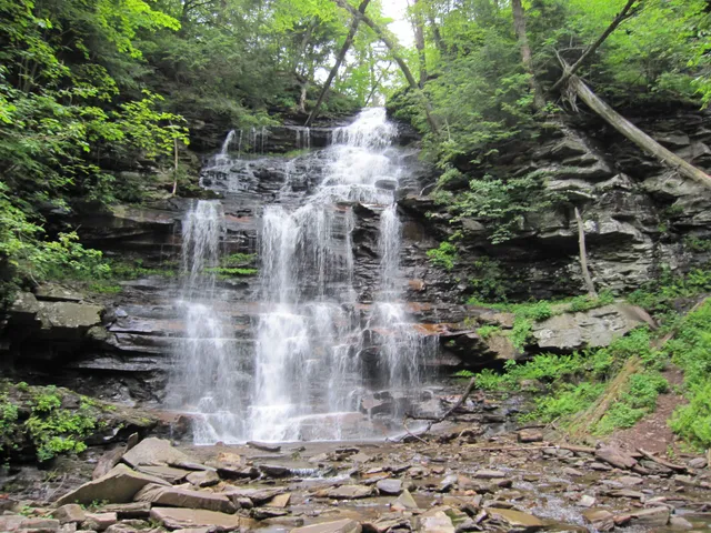
Ricketts Glen packs more waterfalls into a single hike than almost anywhere else in the East. The 7.2 mile Falls Trail follows Kitchen Creek down through three glens, and along the way you pass 21 free-flowing falls (the park counts 22 named ones) stepping over thin sandstone ledges of the Huntley Mountain Formation. The headliner is Ganoga Falls, a 94 foot curtain that stands well above every other drop here. The two upper glens, Ganoga and Glen Leigh, do most of the work, falling close to 600 feet on rocky, often wet stone stairs before the grade eases. Spring runoff and the days after rain bring the fullest flow, and green light filters through old hemlocks all summer. The whole stretch is a National Natural Landmark. Wear real boots, the rock stays slick, and the trail closes in winter to all but equipped ice climbers.
Ashford, WA · Mount Rainier National Park, Washington
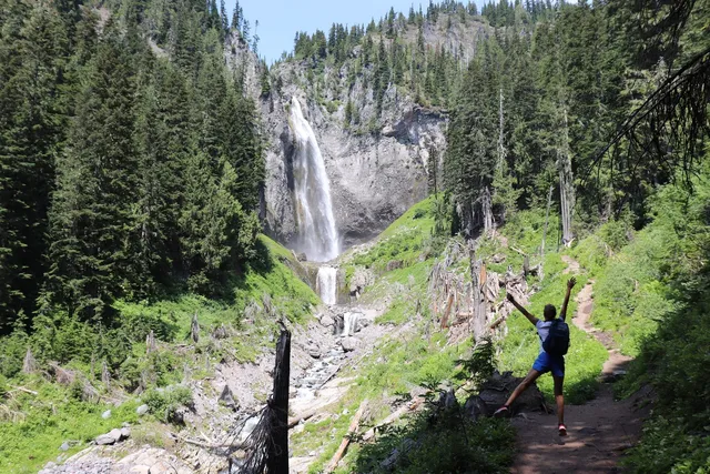
Comet Falls earns its name at high water, when Van Trump Creek launches off a cliff and fans into a long white tail that streams roughly 300 feet down the rock, wider at the bottom than the top. It is one of the tallest falls in Mount Rainier National Park, and many regulars rank it the best in the region. The full drop stacks several tiers to around 460 feet, but the main plunge is the one that stops people on the trail. Getting there is a workout: 1.9 miles from the trailhead four miles east of Longmire, climbing about 900 feet alongside the creek's polished gorge, passing smaller Van Trump Falls on the way. Go in late spring or early summer, when snowmelt gives the falls its full comet shape. Parking is tiny and fills by mid-morning, and a park entrance pass is required.
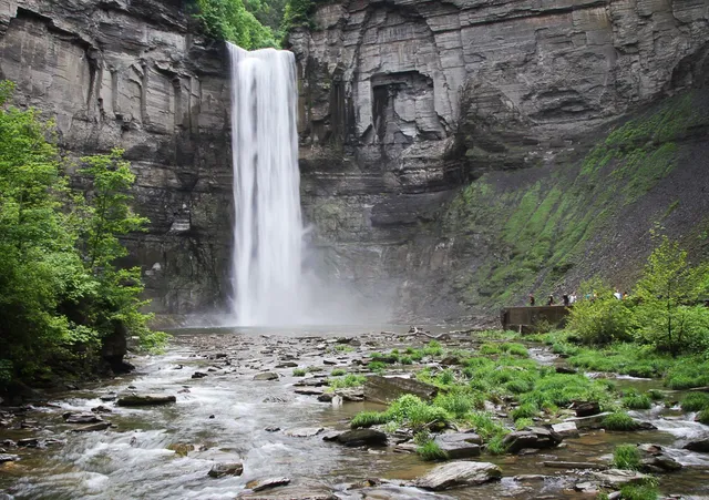
Taughannock Falls drops 215 feet in one clean plunge, which makes it the tallest single-drop waterfall east of the Rockies and about 33 feet higher than Niagara. It falls off a sheer Devonian shale face into a plunge pool ringed by a stone amphitheater, with gorge walls climbing close to 400 feet on either side. Fed by Taughannock Creek, it runs hardest in spring snowmelt and after heavy rain, and thins to a ribbon by late summer. Getting there is easy. The Gorge Trail runs three quarters of a mile along the creek, mostly flat and stroller-friendly, ending at a viewing area near the base. The North and South Rim trails add higher vantage points and connect into a loop, though they close in winter while the Gorge Trail stays open. Day use runs $10 per vehicle, dawn to dusk. Go after a storm for the loudest flow.
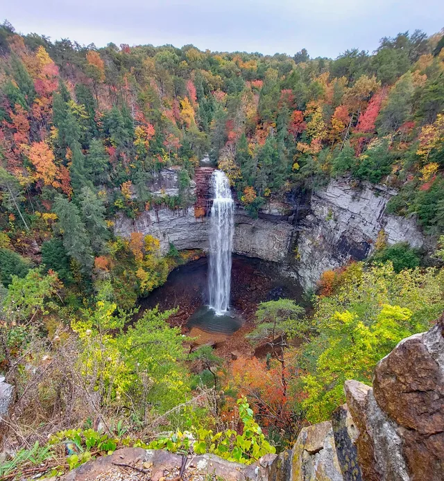
Fall Creek Falls drops 256 feet in one clean plunge, which makes it the tallest freefall waterfall east of the Mississippi. Fall Creek pours off the Cumberland Plateau and free-falls the whole way into a shaded gorge pool, so there is no cascade or stair-step here, just one continuous ribbon of water. From the paved overlook you get the full head-on view about a minute's walk from the lot. To stand at the base, take the steep 0.35 mile trail into the gorge (0.7 miles round trip) and save energy for the climb back, which regains the plateau rim in a hurry over rock and root. Flow runs strongest from late winter through spring. By dry late summer the falls can thin to a narrow thread, so time a visit after rain. The park charges no admission, and the overlook road stays open year-round.
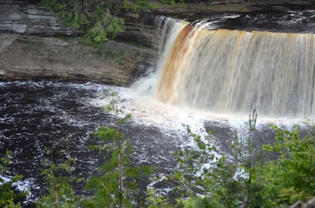
Tahquamenon Falls runs the color of root beer, its water stained amber by tannins leached from the cedar swamps upstream. The Upper Falls is the headline act, a single drop of about 48 feet spread more than 200 feet wide, one of the largest waterfalls by volume east of the Mississippi. In late spring runoff the river can push 50,000 gallons a second over the lip. Four miles downstream, the Lower Falls breaks into five smaller cascades wrapped around an island you reach by rented rowboat or by wading in summer. A paved path and a stairway of 94 steps drop you to the Upper Falls viewing decks, close enough to feel the spray. Come in early May for peak flow or in October when the surrounding hardwoods turn. The park sits near Paradise in the eastern Upper Peninsula. A Recreation Passport is required for vehicle entry.
 Must-see