The sandstone country of the Colorado Plateau and its edges: corridors sanded smooth by flood water, arches by the thousand, hoodoo amphitheaters and thousand-foot buttes. Fifteen places, honest about which ones need a permit, a Navajo guide, or a high-clearance truck, and which you can simply walk into.
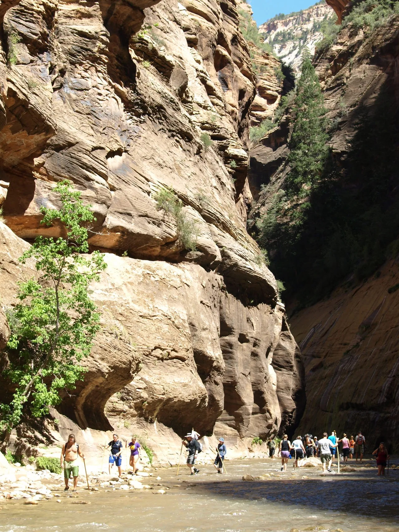
Zion's Virgin River squeezes into a corridor twenty feet wide under thousand-foot sandstone walls. No permit from the bottom, just the shuttle, cold water, and a careful eye on the flow gauge.
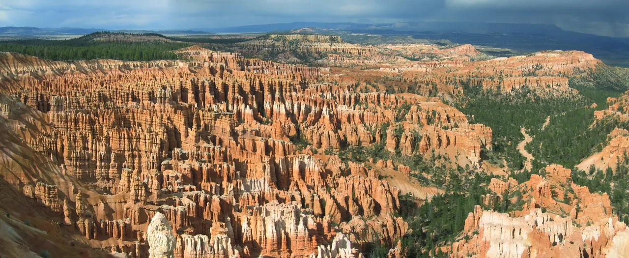
An eroding amphitheater of limestone spires rather than a canyon, best at sunrise from the rim, with the Navajo Loop dropping you straight down among them.
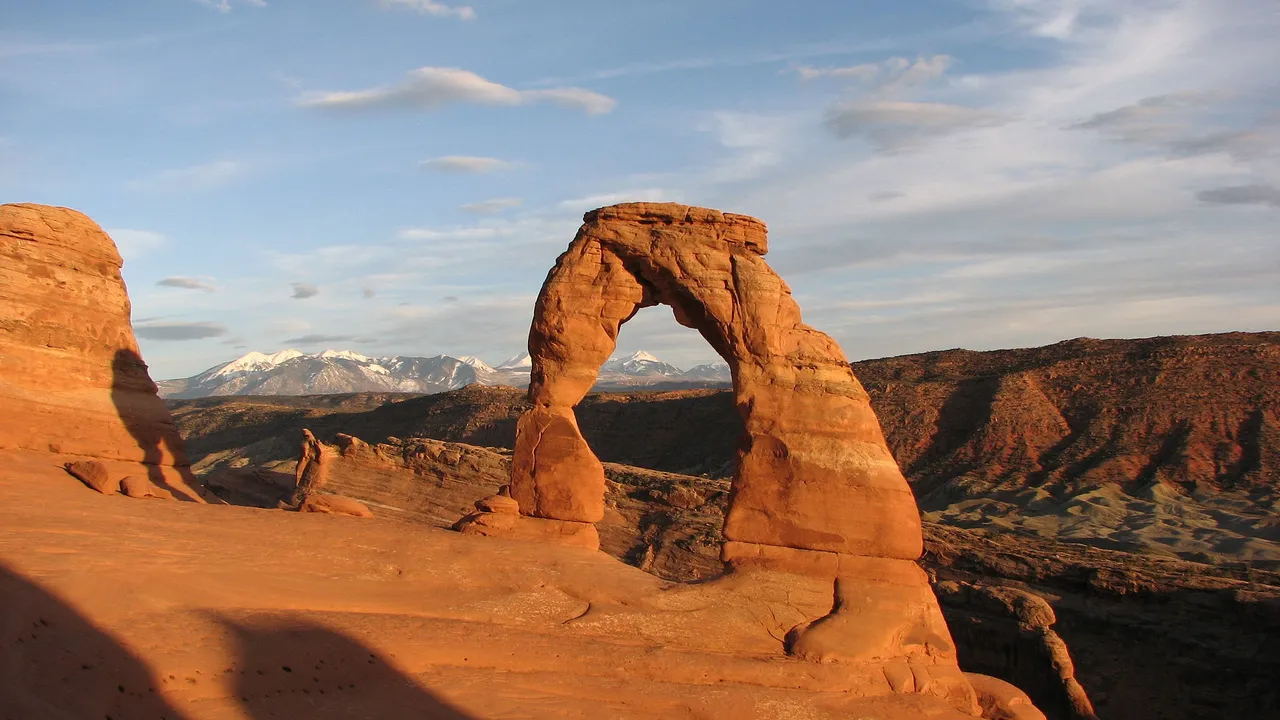
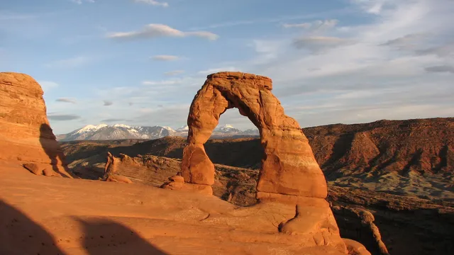
The densest concentration of natural stone spans on earth, with Delicate Arch standing at the lip of a slickrock bowl and the La Sals behind it. Timed entry applies in peak season.
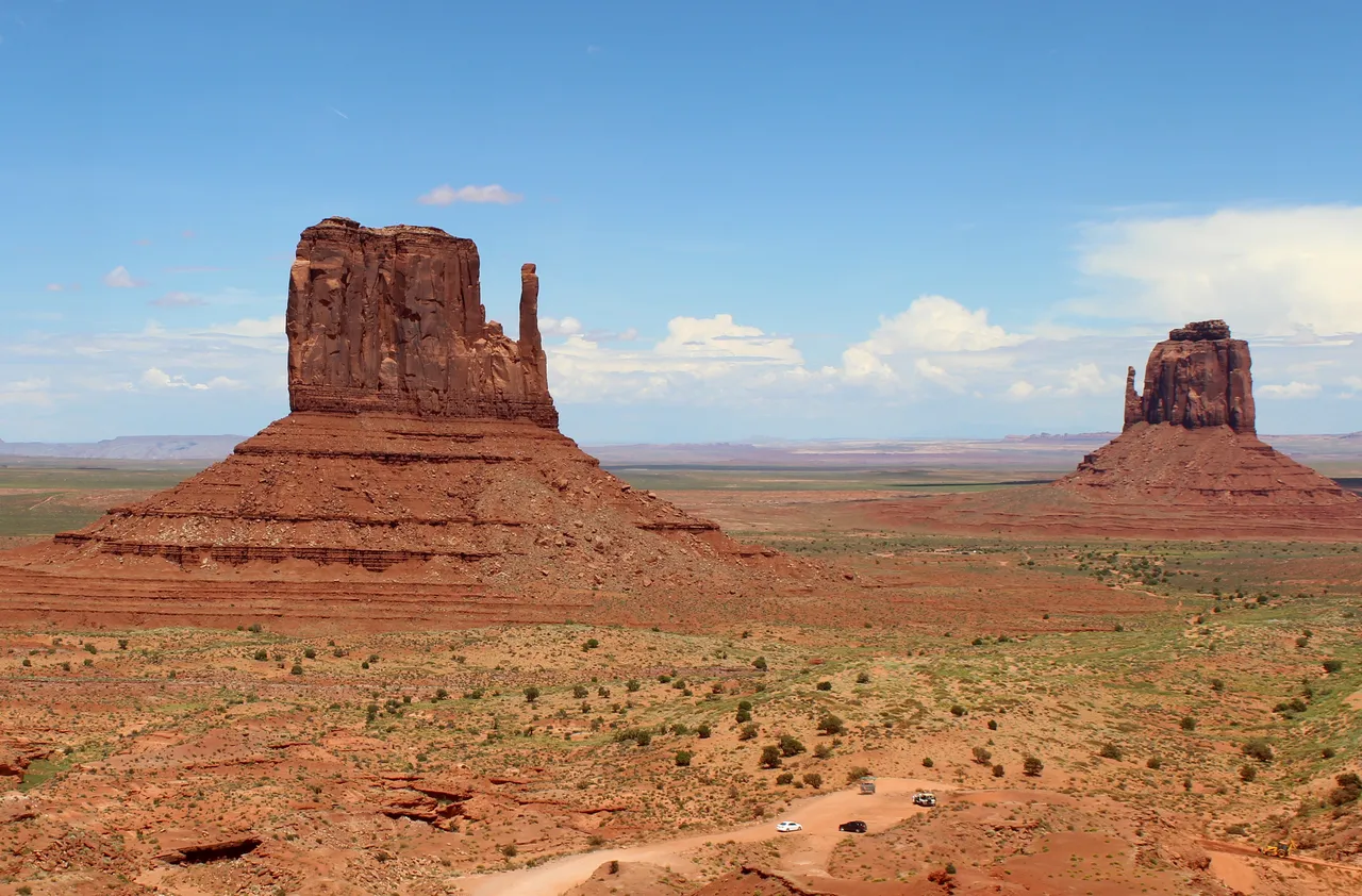
A 17 mile dirt loop through 1,000 foot sandstone buttes on Navajo Nation land, where the Mittens frame the view and everything past the road needs a Navajo guide.
Plan your visit
Kayenta, AZ Colorado Plateau, Navajo Nation, Northern Arizona
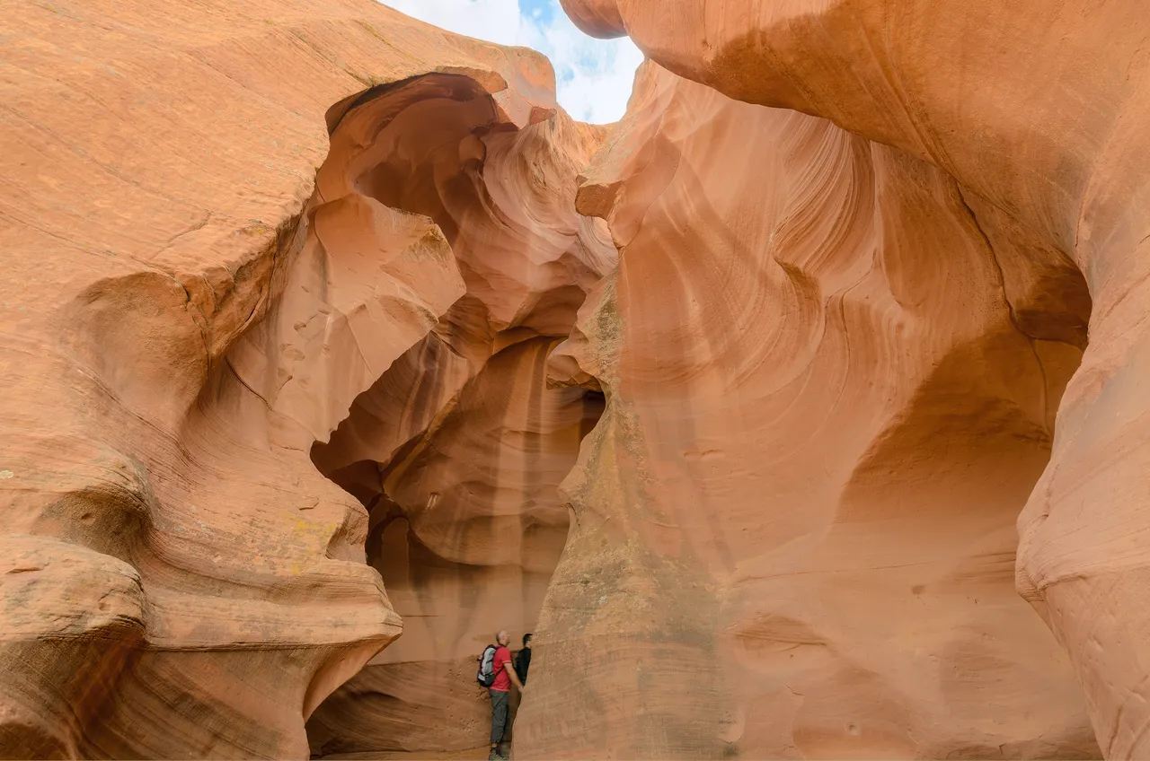
Sandstone corridors sanded smooth by flood water, minutes east of Page. Upper delivers midday light beams on a flat walk; Lower drops you in on five flights of steep metal stairs. Navajo guides only.
Plan your visit
Page, AZ Colorado Plateau, Navajo Nation near Page
Fredonia, AZ · Vermilion Cliffs National Monument, Arizona Strip
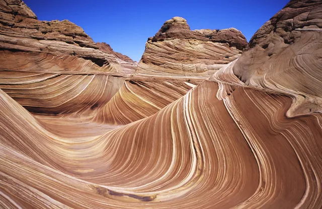
The Wave is a bowl of Navajo Sandstone in Coyote Buttes North, where 190 million year old dune beds erode into intersecting troughs of red, cream and pale orange, iron oxide banding in windblown sand. It is smaller than the photographs suggest, and the walk is the real work: 6.4 miles round trip from the Wire Pass trailhead, cross country over slickrock and deep sand, no trail, no shade, no water. Access is lottery only, 64 people and 16 groups a day. Forty eight come from an advanced lottery drawn four months out, 16 from a daily lottery entered by phone two days ahead from inside a geofenced corridor between Kanab and Page. Odds run in the low single digit percentages in spring and fall. House Rock Valley Road is 8.3 miles of dirt wanting high clearance, impassable when wet. Heat has killed hikers here from May through September, so carry four liters and start early.
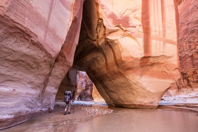
Buckskin Gulch runs about 16 miles through Navajo sandstone, one of the longest continuous slot canyons anywhere, with stretches barely 10 feet wide under hundreds of feet of rock. Daylight arrives secondhand. The floor shifts between packed sand, logjams wedged overhead, and cold pools that can go chest deep for weeks after rain. Most hikers walk in from Wire Pass, 1.7 miles to the confluence, then turn back. The full through hike out at White House runs about 21 miles over two days. Day use is $6 per person and $6 per dog on Recreation.gov, no lottery. Overnight takes a Paria Canyon permit, $5 per person per night, 20 people a day across all trailheads, released monthly about four months out. House Rock Valley Road is 8.3 miles of dirt, passable by car when dry and not when wet. The narrows run 11 miles with one technical escape route, so check the forecast for the whole upstream watershed before you drop in.
Sedona, AZ · Verde Valley and Red Rock Country, Northern Arizona
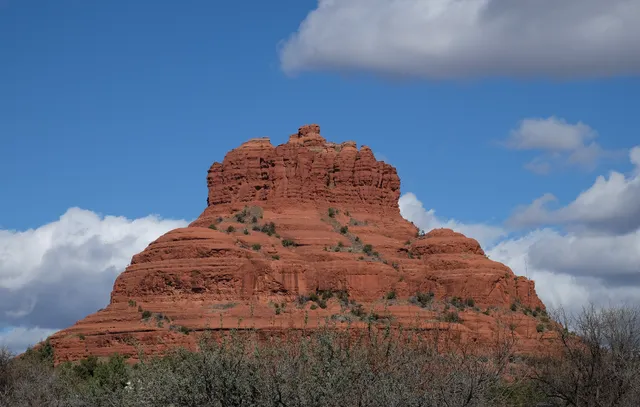
Cathedral Rock is the shape everyone recognizes, a cluster of red sandstone fins standing over Oak Creek and glowing hardest an hour before sunset. The Forest Service rates the trail to the saddle strenuous: 1.1 miles round trip, 669 feet of gain on bare slickrock, with toeholds chipped into the steepest pitches and no shade or water on it. Bell Rock, Courthouse Butte and the Airport Mesa loop offer the same red rock with less scrambling. Trailhead parking takes a Red Rock Pass ($5 daily, $15 weekly, $20 annual) or an America the Beautiful pass. Thursday through Sunday year round the Cathedral Rock lot is closed and the free Sedona Shuttle from the North SR 179 park and ride is the only way in. The Pocket Fire closure order has Devils Bridge, Soldier Pass and Fay Canyon shut through September 30, 2026, and summer highs top 100, so start at dawn and check the forest closure list before you drive.
Chinle, AZ · Colorado Plateau, Navajo Nation, Northeastern Arizona
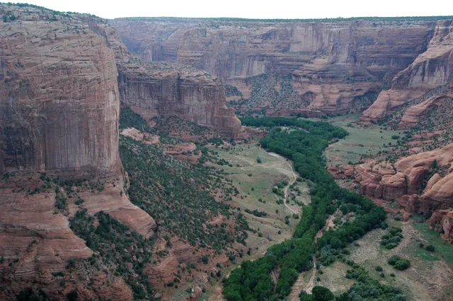
Three canyons meet here, cut into De Chelly sandstone that rises in sheer red walls, over 1,000 feet at the deepest. People have farmed the floor for nearly 5,000 years, and Navajo families still live down there, so the canyon bottom is closed to unaccompanied visitors. The two paved rim drives are the exception, ten overlooks, ending at Spider Rock, a spire 750 feet above the floor. The only self-guided hike is the White House Ruin Trail, 2.5 miles round trip, 600 feet of switchbacks to a cliff dwelling. No entrance fee or reservation, and the rim drives stay open year round. Everything below the rim takes an authorized Navajo guide plus a backcountry permit from Navajo Parks (928-674-2106). Approach from US-191 in Chinle; Route 7 from the east near Sawmill is unpaved and unmaintained. Start early, carry water, skip 10am to 4pm in summer, and turn back if rain threatens: this canyon floods fast and sheds rock.
Escalante, UT · Grand Staircase-Escalante, Southern Utah
Two famously tight slots sit side by side in the Dry Fork of Coyote Gulch, and the usual loop climbs up one and squeezes down the other. Peek-a-boo starts with a 12 foot dryfall gained on moki steps chipped into the sandstone, then opens into stacked arches and potholes. Spooky pinches to roughly 10 inches, tight enough that most people turn sideways and carry the pack by hand. BLM and Kane County search and rescue installed sizing posts at the trailheads so you can learn whether you fit before you commit. No permit or fee for day hiking. The trailhead sits 26 miles down Hole-in-the-Rock Road, graded dirt that passenger cars usually handle when dry and clay that traps vehicles when wet; low clearance drivers should park at the upper lot and walk the last mile. Both slots flood and the open approach bakes in summer, so check the forecast, carry extra water, and turn back if storms sit upstream.
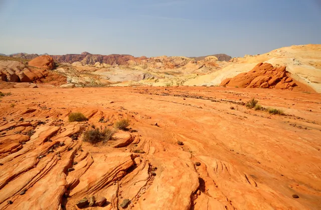
Nevada's oldest state park, designated in 1935, covers nearly 46,000 acres of Aztec sandstone that reads as fire under low sun. The rock is Jurassic dune sand, weathered into fins, arches and narrow washes. The Fire Wave is the signature walk, 1.5 miles round trip over slickrock from a pullout on White Domes Road, ending at a striped sandstone bowl. At Atlatl Rock a metal staircase climbs to petroglyphs more than 2,000 years old, named for the spear thrower carved there. Access is all pavement, so a sedan is fine, and no permit, lottery or guide is required. Day use runs $10 for Nevada plates and $15 out of state, sunrise to sunset. Fire Wave, White Domes, Pinnacles and other trails close May 15 through September 30 because heat here has killed hikers, and the park shuts entirely December 1 to 14. Carry far more water than feels reasonable, and stay out of the washes when storms are anywhere upstream.
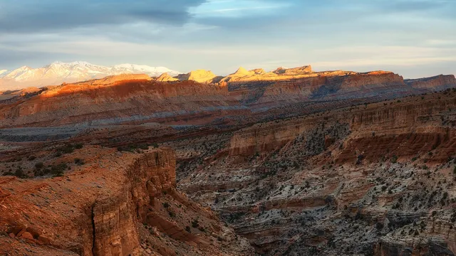
Capitol Reef wraps around the Waterpocket Fold, a nearly 100-mile wrinkle in the earth's crust where white Navajo sandstone domes stack above red cliffs near Torrey. Hike the moderate trail to Hickman Bridge, a 133-foot natural span, then drop into the historic Fruita district to pick apples and peaches from pioneer orchards and grab a pie at the Gifford House. Spring blossoms and fall harvest are the sweetest times to come.
Page, AZ · Vermilion Cliffs, Colorado Plateau, Northern Arizona
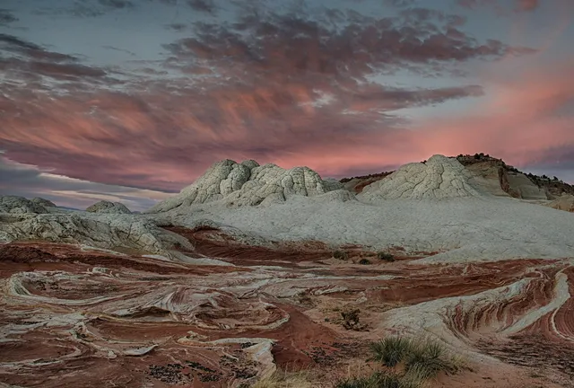
White Pocket is a square mile of Navajo sandstone that looks poured rather than laid down. Cream and coral domes crack into polygonal plates people call brain rock, with red and orange swirled through. Formations start about a hundred yards from the lot, and there is no trail past that. Most people wander a mile or two over open slickrock and sand. The Wave runs on a Recreation.gov lottery and Coyote Buttes South needs a permit. White Pocket sits outside both, with no permit, no fee and no quota. The road is the toll: 23.5 miles of dirt down House Rock Valley Road, then roughly ten more of deep sand that strands high-clearance 4WD trucks every year. Sedans and crossovers do not make it, and rain or snow can shut the route to everything. Many hire a guide from Kanab or Page. No water, no toilets, no shade, no cell service, and BLM is blunt that rescue is not guaranteed.
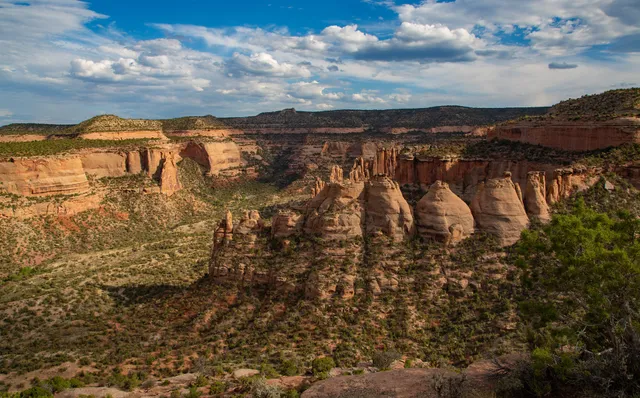
Colorado National Monument sits above the Grand Valley, where Wingate sandstone cliffs drop into red canyons. Rim Rock Drive runs 23 paved miles between the Fruita and Grand Junction entrances, threading three tunnels to canyon overlooks. Independence Monument, a 450 foot freestanding tower, rises a mile southeast of the Saddlehorn Visitor Center, and Otto's Trail reaches a rim view of it in half a mile. Monument Canyon Trail is the longer walk, six miles one way and 1,440 feet down, passing the tower at 3.5 miles. Entry is $25 per vehicle for seven days, or $15 on foot or bike, with no permit or reservation. The road suits a sedan and stays open year round, closing a day or two after heavy snow, ice, or rockfall. Tunnels clear 16 feet at the centerline but only 10 feet 6 inches near the curbs. Summer canyon heat tops 100 degrees with no water below the rim, so carry your own.
Farmington, NM · San Juan Basin, Northwest New Mexico
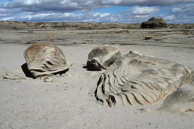
Bisti is 45,000 acres of eroded Cretaceous mudstone, coal seam and sandstone with nothing built on it. No trail, no sign, no water. From the dirt lot you walk east into Alamo Wash, a wide sand bottom, and the badlands assemble around you: hoodoos capped with dark stone, the Cracked Eggs about two miles in, petrified logs lying where they fell, hills banded gray, cream and rust. The Stone Wings sit in the northern half, reached from a separate north lot rather than this one. Everything looks alike at eye level, so a GPS pin on your car matters more than a map. Access is free, no permit, open year round. From Farmington go 36 miles south on NM 371, then east on County Road 7297 two miles to a T and a mile north. BLM recommends high clearance; the clay turns impassable wet, and washes flash flood. Vault toilet, no water, no summer shade. Carry several liters.
 Must-see