Chinle, AZ · Colorado Plateau, Navajo Nation, Northeastern ArizonaFreeNo entrance fee; backcountry permits and camping cost extra
About
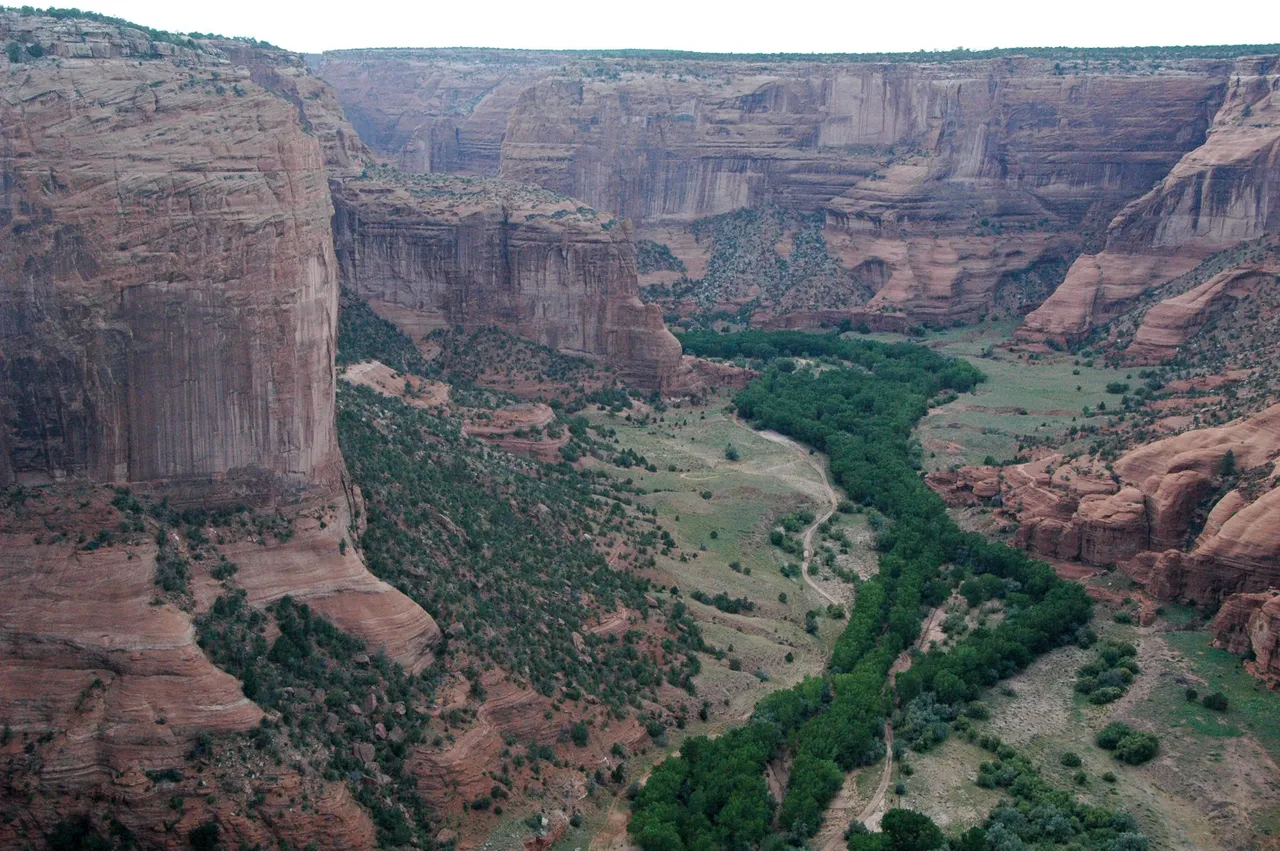
Three canyons meet here, cut into De Chelly sandstone that rises in sheer red walls, over 1,000 feet at the deepest. People have farmed the floor for nearly 5,000 years, and Navajo families still live down there, so the canyon bottom is closed to unaccompanied visitors. The two paved rim drives are the exception, ten overlooks, ending at Spider Rock, a spire 750 feet above the floor. The only self-guided hike is the White House Ruin Trail, 2.5 miles round trip, 600 feet of switchbacks to a cliff dwelling. No entrance fee or reservation, and the rim drives stay open year round. Everything below the rim takes an authorized Navajo guide plus a backcountry permit from Navajo Parks (928-674-2106). Approach from US-191 in Chinle; Route 7 from the east near Sawmill is unpaved and unmaintained. Start early, carry water, skip 10am to 4pm in summer, and turn back if rain threatens: this canyon floods fast and sheds rock.
Highlights
Canyon floor: authorized Navajo guide plus Navajo Nation backcountry permit requiredWhite House Ruin Trail is the only self-guided hike (2.5 mi, 600 ft)No NPS entrance fee and no reservation; permit and guide fees are paid in cash to Navajo ParksPaved North and South Rim drives, ten overlooks, open year roundSpider Rock spire stands 750 ft above the canyon floorFlash flood and rockfall risk in rain; avoid 10am to 4pm summer heatDo not enter on Route 7 from the east (unpaved, unmaintained past Sawmill)Navajo Nation observes daylight saving time; the rest of Arizona does not
Getting there
Route 7, 3 miles east of Highway 191, Chinle, AZ 86503
Page, AZ · Vermilion Cliffs, Colorado Plateau, Northern ArizonaFree
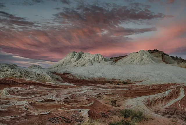
White Pocket is a square mile of Navajo sandstone that looks poured rather than laid down. Cream and coral domes crack into polygonal plates people call brain rock, with red and…
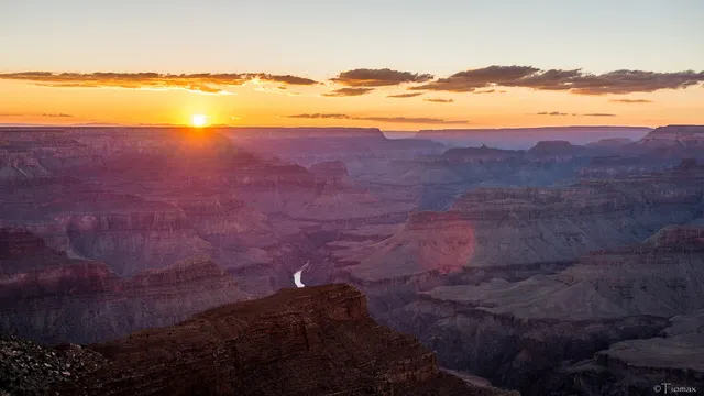
The Grand Canyon's South Rim, 81 miles from Flagstaff, Arizona, is open 24 hours a day all year. The North Rim, 215 miles away by road, lost its lodge to the Dragon Bravo Fire in…
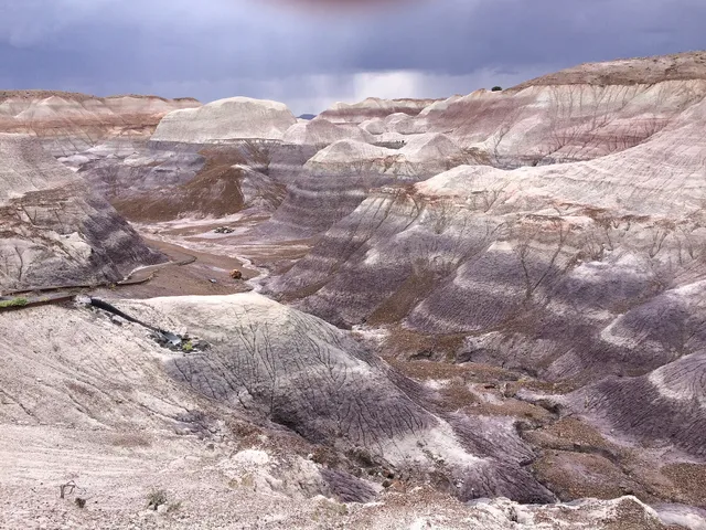
One road, about 28 miles long, runs the length of Petrified Forest. The fossil logs lie at the south end near Holbrook, and on the Giant Logs and Crystal Forest trails the trunks…
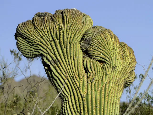
The big stands of saguaro are on the west side of Tucson, Arizona, in the park's Tucson Mountain District. They bloom from late May through July, when highs can pass 105 degrees…
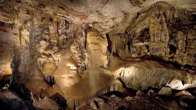
Hidden under the Whetstone Mountains until cavers found it in 1974, Kartchner is a living cave where water still drips calcite onto formations that have been growing for 50,000…
Supai, AZ · Havasupai Reservation, Grand Canyon, Arizona$$$
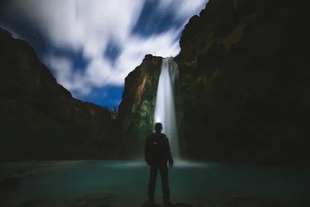
Havasu Falls owes its color to chemistry. Havasu Creek runs thick with calcium carbonate, and as the water drops roughly 90 to 100 feet off a red sandstone cliff, that mineral…
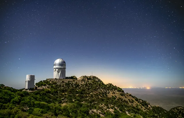
Kitt Peak sits at 6,875 feet in the Quinlan Mountains on the Tohono O'odham Nation, about 55 miles southwest of Tucson. The summit holds more than 20 optical telescopes and two…
Kayenta, AZ · Colorado Plateau, Navajo Nation, Northern Arizona$
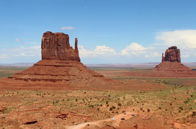
The buttes rise 400 to 1,000 feet off a red sand floor, and from the visitor center terrace the Mittens sit close enough that the scale finally registers. This is Navajo Nation…
Page, AZ · Colorado Plateau, Navajo Nation near Page
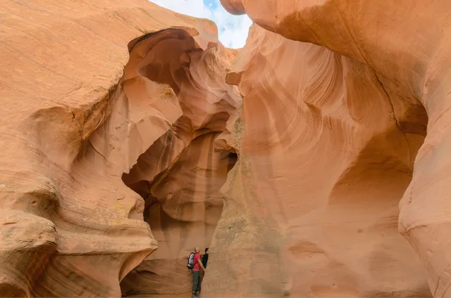
Antelope Canyon cuts through Navajo Sandstone on Navajo Nation land east of Page, and the walls are the point: flood water has sanded them into stacked, flowing curves that shift…