Places to go in Washington.

Springs, beaches, parks and gardens worth the drive. Save the ones you want to visit and tick off the ones you’ve been to.

Explore places across the United States →
BeachesLakes & riversMountainsCaves

All places

Browse everything by category or region.

7 places

Olympic National Park Mountains

Olympic National Park

Port Angeles, WA · Olympic Peninsula

Olympic National Park packs three wildly different worlds into one peninsula, with glacier-capped peaks, moss-draped temperate rainforests, and a rugged Pacific coastline of sea stacks and tide pools. From the Port Angeles visitor center you can drive up to Hurricane Ridge for sweeping mountain views or descend into the dripping green of the Hoh Rain Forest, all within a few hours. It is a genuine bucket-list trip for anyone who wants to see rainforest, mountains, and wild beach in a single day.
Mount Rainier National Park Mountains

Mount Rainier National Park

Ashford, WA · Cascade Range

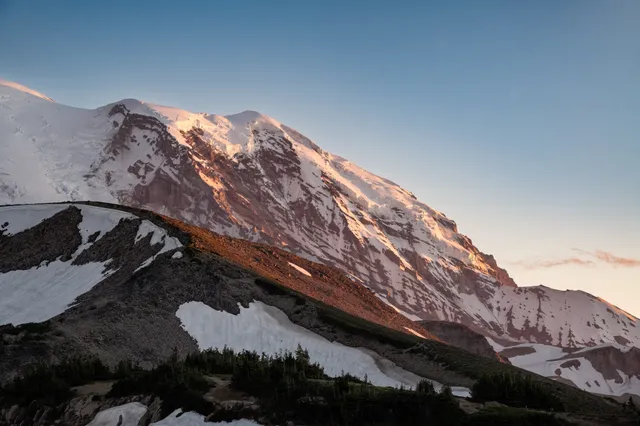
Mount Rainier is the most heavily glaciated peak in the contiguous United States, a 14,410-foot active volcano cloaked in more than two dozen glaciers and ringed by old-growth forest. From the Paradise area at 5,400 feet, subalpine meadows erupt with wildflowers in July and August beneath ice spilling off the summit. Serious hikers circle the whole mountain on the 93-mile Wonderland Trail.

North Cascades National Park Mountains

North Cascades National Park

Newhalem, WA · North Cascades, Washington

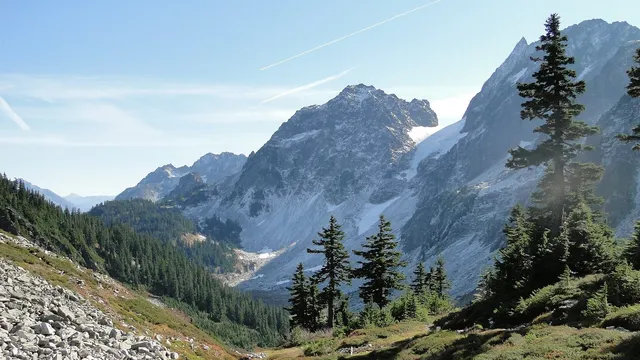
North Cascades National Park packs more than 300 glaciers into a wall of jagged, snow-streaked peaks, the most heavily glaciated park in the Lower 48. Pull off Highway 20 at the Diablo Lake overlook, where glacial rock flour turns the water a brilliant milky turquoise, then climb the Cascade Pass trail to alpine meadows beneath Sahale Arm. Summer and early fall offer the clearest access to this rugged corner of Washington near Newhalem.

Ruby Beach Beaches

Ruby Beach

Olympic National Park, WA · Olympic Coast

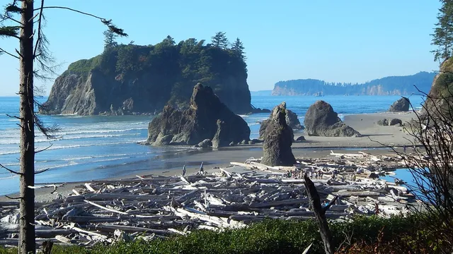
Ruby Beach is the postcard of the wild Washington coast, where Highway 101 drops you onto dark sand stained faintly red by garnet crystals and scattered with bleached driftwood logs the size of telephone poles. Sea stacks rise straight out of the surf, with tree-crowned Abbey Island anchoring the view and tide pools full of starfish and anemones appearing when the water pulls back. Come an hour before sundown, climb over the driftwood, and watch the Pacific light up behind the stacks for one of the best sunsets in the country.

Ape Cave Lava Tube Caves

Ape Cave Lava Tube

Cougar, WA · Mount St. Helens

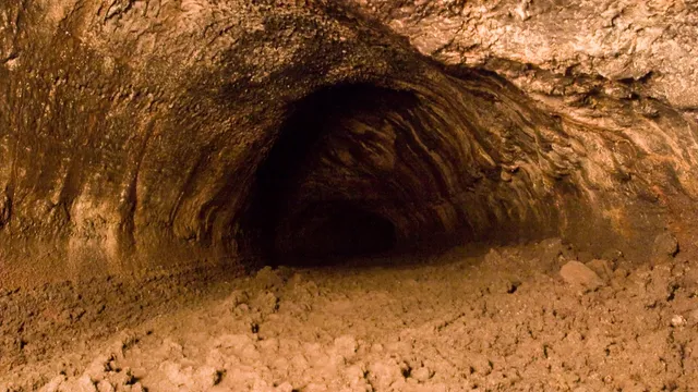
Roughly 2,000 years ago a river of basalt poured off the south flank of Mount St. Helens, crusted over, and drained out the bottom, leaving behind the longest continuous lava tube in the continental United States. You descend a steel staircase into a cool, dark passage that runs about 2.5 miles, headlamp catching ripples frozen into the walls and lavacicles hanging from the ceiling where molten rock once dripped. The lower route is an easy walk to the Meatball, a boulder wedged overhead in the tube, while the upper route asks you to scramble over rubble and haul yourself up an eight-foot lava wall, and the cave holds a steady 42 degrees no matter the season.

Palouse Falls Lakes & rivers

Palouse Falls

LaCrosse, WA · Palouse River Canyon, southeast Washington

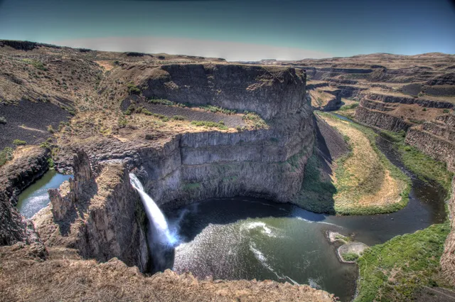
Palouse Falls is Washington's official state waterfall, named in 2014 after a group of local schoolkids lobbied the legislature for it. The Palouse River drops about 200 feet in a single plunge into a punchbowl basin, then threads a 377-foot basalt canyon that the Ice Age floods tore open more than 13,000 years ago. When glacial Lake Missoula burst its ice dam again and again, the water rerouted the river and left this amphitheater of columnar rock behind. It flows year-round, but spring snowmelt (roughly March into May) is when it turns loud and full. Three viewpoints look onto the falls, including the higher Fryxell Overlook reached by a short paved path off the day-use area. Know before you go: the trails down into the canyon are permanently closed, parking is small and fills up on weekends and holidays, and a Discover Pass is required to park.

Comet Falls Lakes & rivers

Comet Falls

Ashford, WA · Mount Rainier National Park, Washington

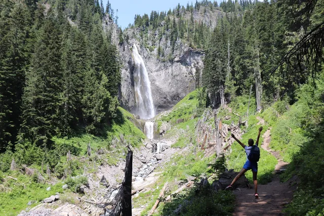
Comet Falls earns its name at high water, when Van Trump Creek launches off a cliff and fans into a long white tail that streams roughly 300 feet down the rock, wider at the bottom than the top. It is one of the tallest falls in Mount Rainier National Park, and many regulars rank it the best in the region. The full drop stacks several tiers to around 460 feet, but the main plunge is the one that stops people on the trail. Getting there is a workout: 1.9 miles from the trailhead four miles east of Longmire, climbing about 900 feet alongside the creek's polished gorge, passing smaller Van Trump Falls on the way. Go in late spring or early summer, when snowmelt gives the falls its full comet shape. Parking is tiny and fills by mid-morning, and a park entrance pass is required.